The routes

Treks

Long-distance routes walked over the last few years — documented as honestly as possible.

Moderate

Pennine Way — Malham to Dufton

Pennine Way — Malham to Dufton
Yorkshire Dales & North Pennines, England20268 days93 miles

Eight days on the Pennine Way's most dramatic central section — six days of hiking across limestone pavements, waterfalls, moorland crossings, and the long descent into the Eden Valley.

The Pennine Way's central section is where the walk earns its reputation. Starting from Malham, the route climbs immediately onto the limestone pavement above Malham Cove — a vast, cracked plateau that feels more lunar than English. From there it's moorland all the way, with the path rising and falling across open ground, the horizon always wide and the weather always present.

Pen-y-Ghent on day two is the high point in every sense. The ascent is short but steep, the summit rocky and exposed, and the view back south across the Dales is the kind that makes five days of planning feel entirely justified. The descent into Horton-in-Ribblesdale is gentler, and the pub at the bottom is not optional.

The final push to Dufton crosses the highest and most remote ground of the section — Cross Fell, the highest point in the Pennines, and the long, featureless plateau that precedes it. The descent into the Eden Valley is a genuine relief, the landscape softening suddenly into green fields and hedgerows. Dufton itself is a single row of sandstone cottages around a village green, and it feels like the right place to stop.
Challenging

Costa Rica — Volcano to Caribbean

Costa Rica — Volcano to Caribbean
Costa Rica202612 days180 km

Twelve days crossing Costa Rica on foot — from the flanks of Arenal volcano through primary rainforest, river crossings, and remote villages to the Caribbean coast.

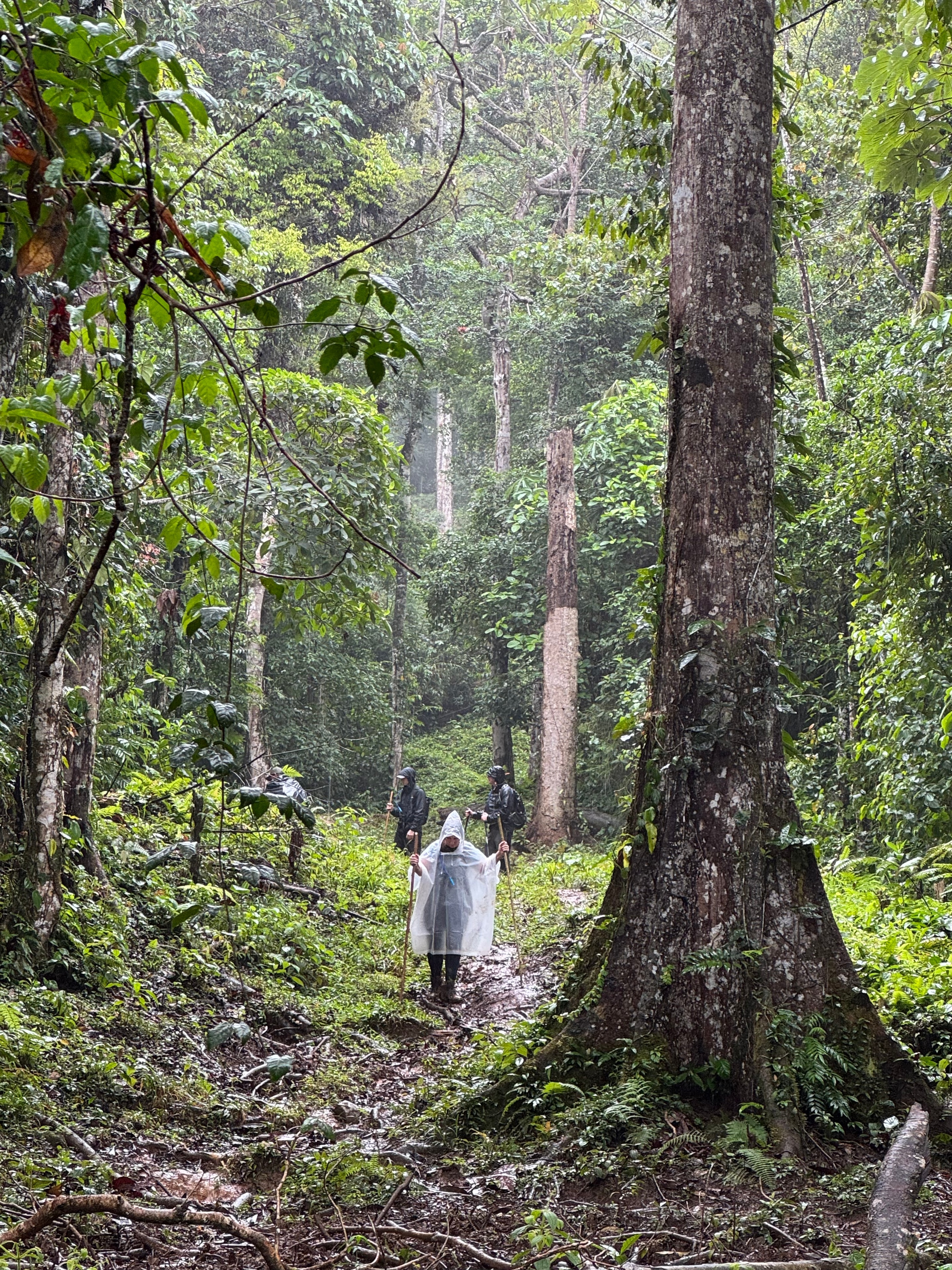
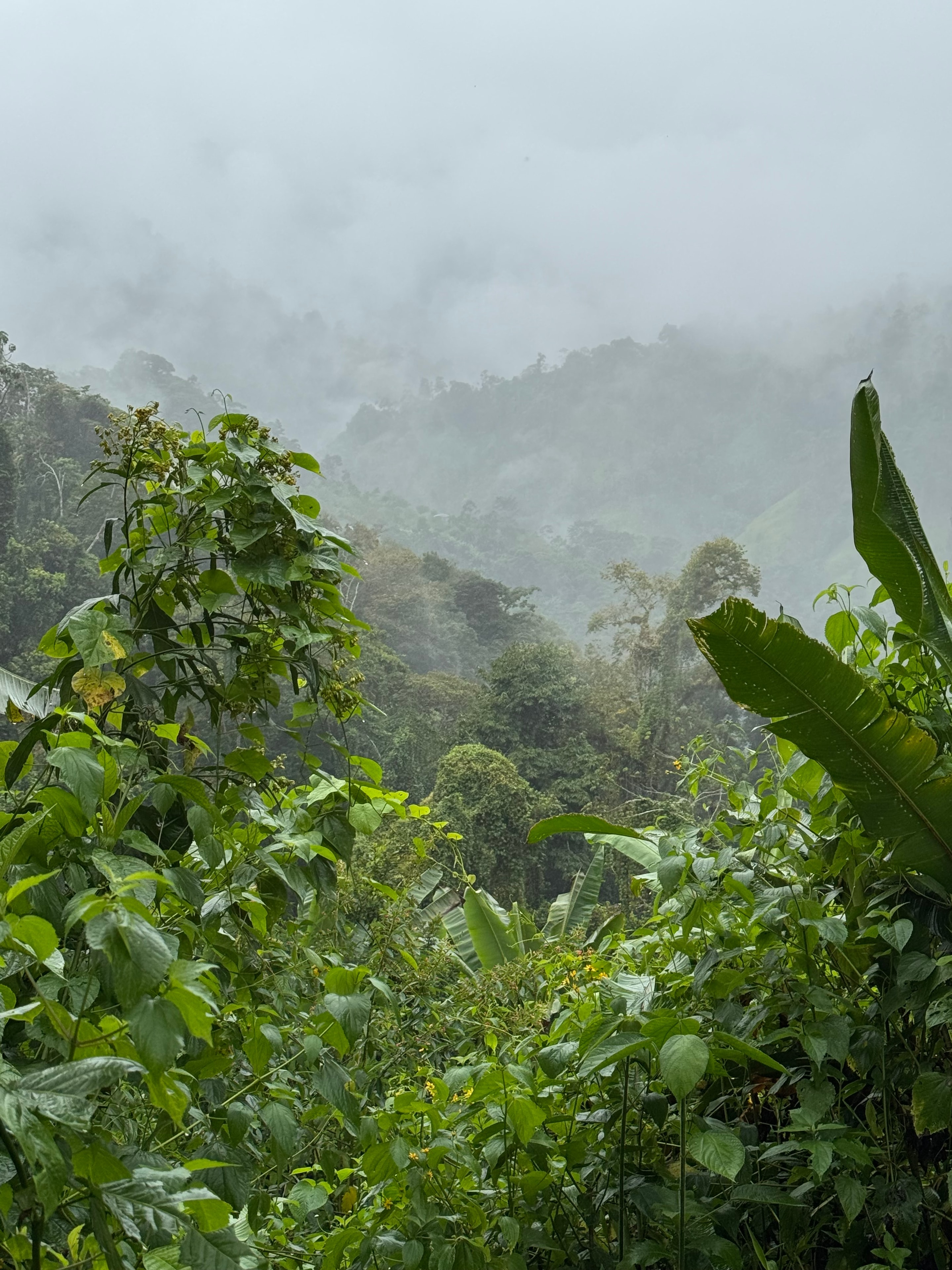
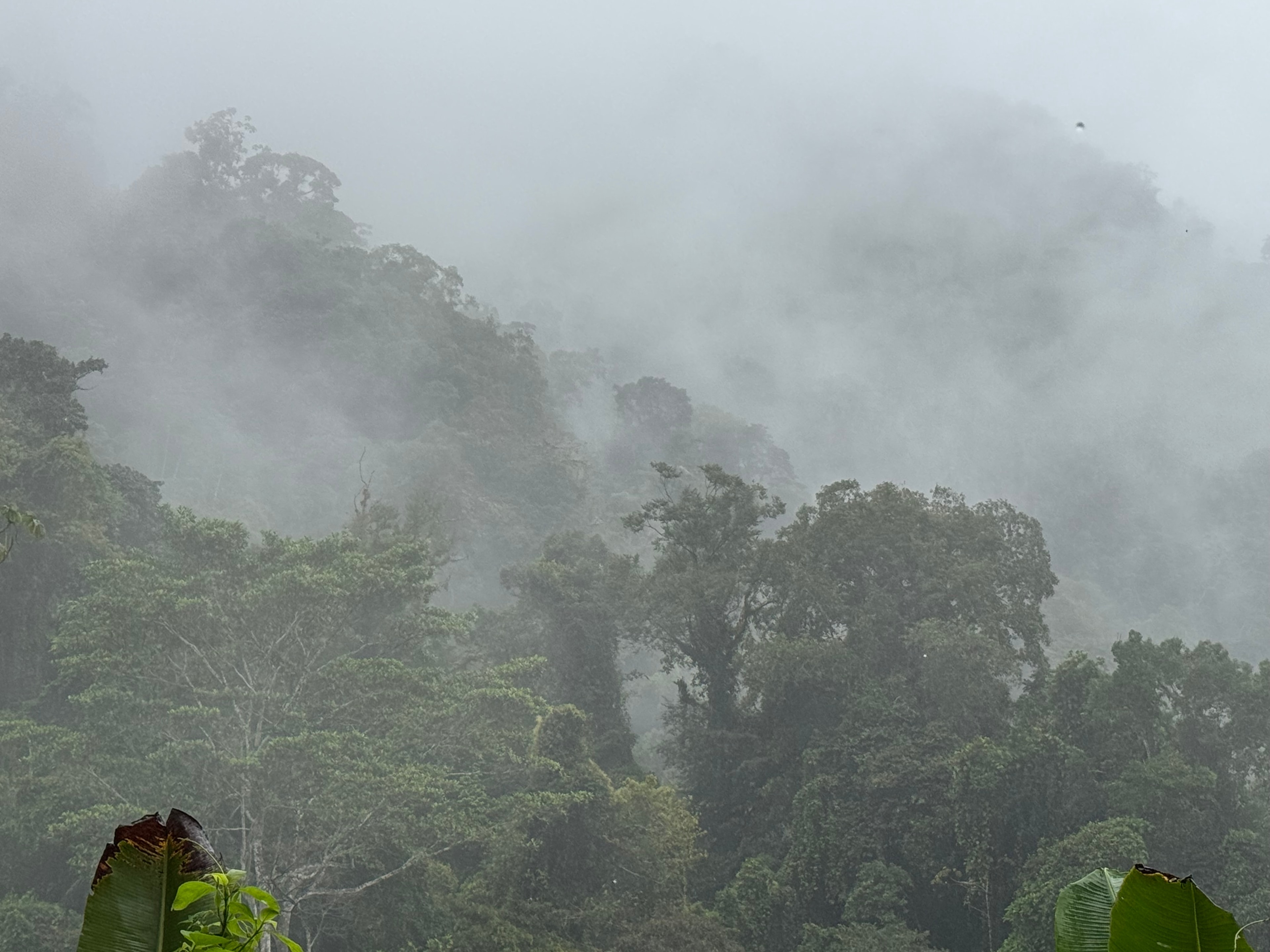
The route starts in the shadow of Arenal, the volcano still visibly active, steam rising from the upper slopes on clear mornings. The first few days follow trails through secondary forest and farmland, the path often muddy and the humidity immediate. By day three the forest closes in properly — primary rainforest, the canopy high overhead, the undergrowth dense and the light reduced to green.

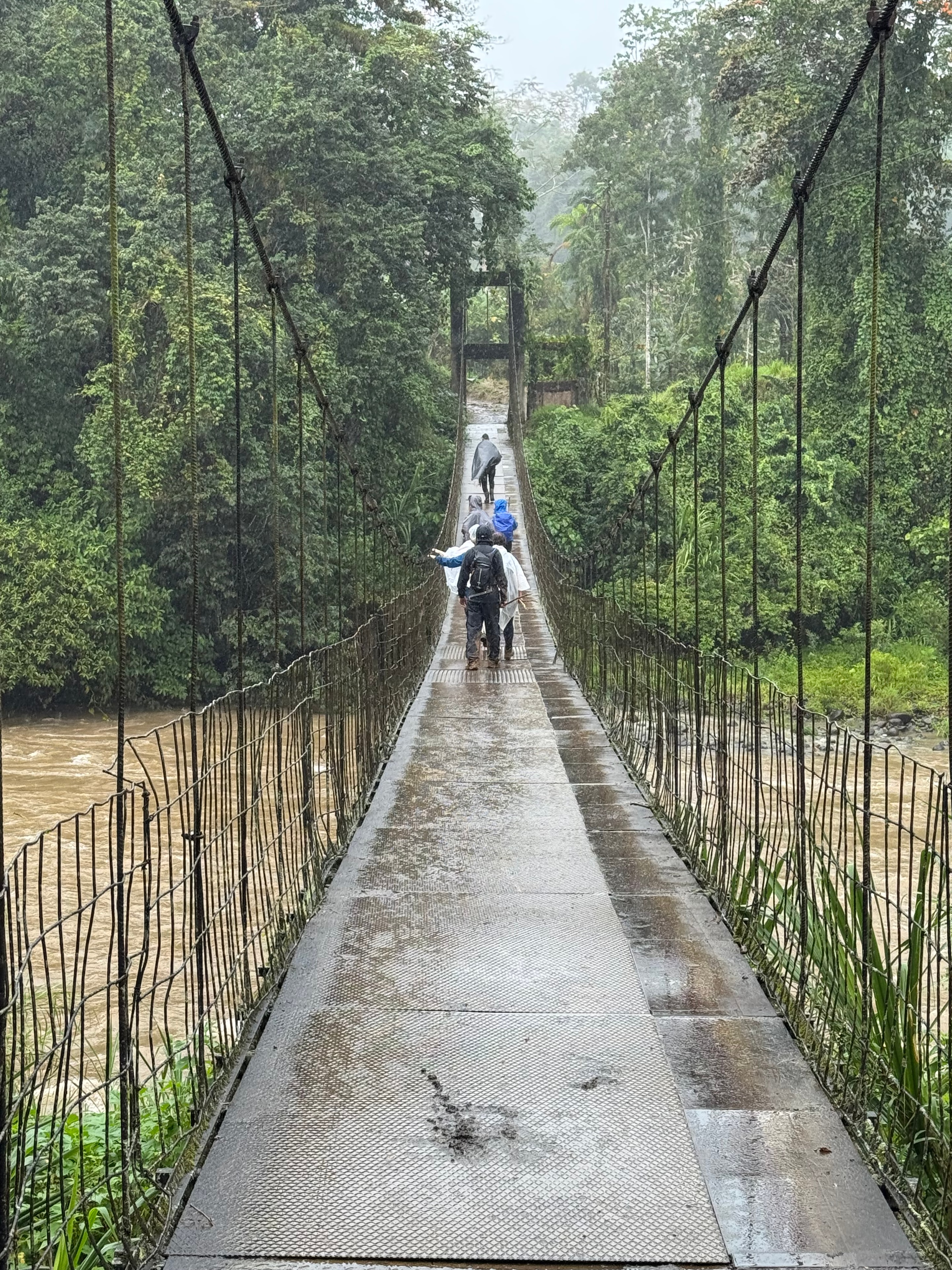
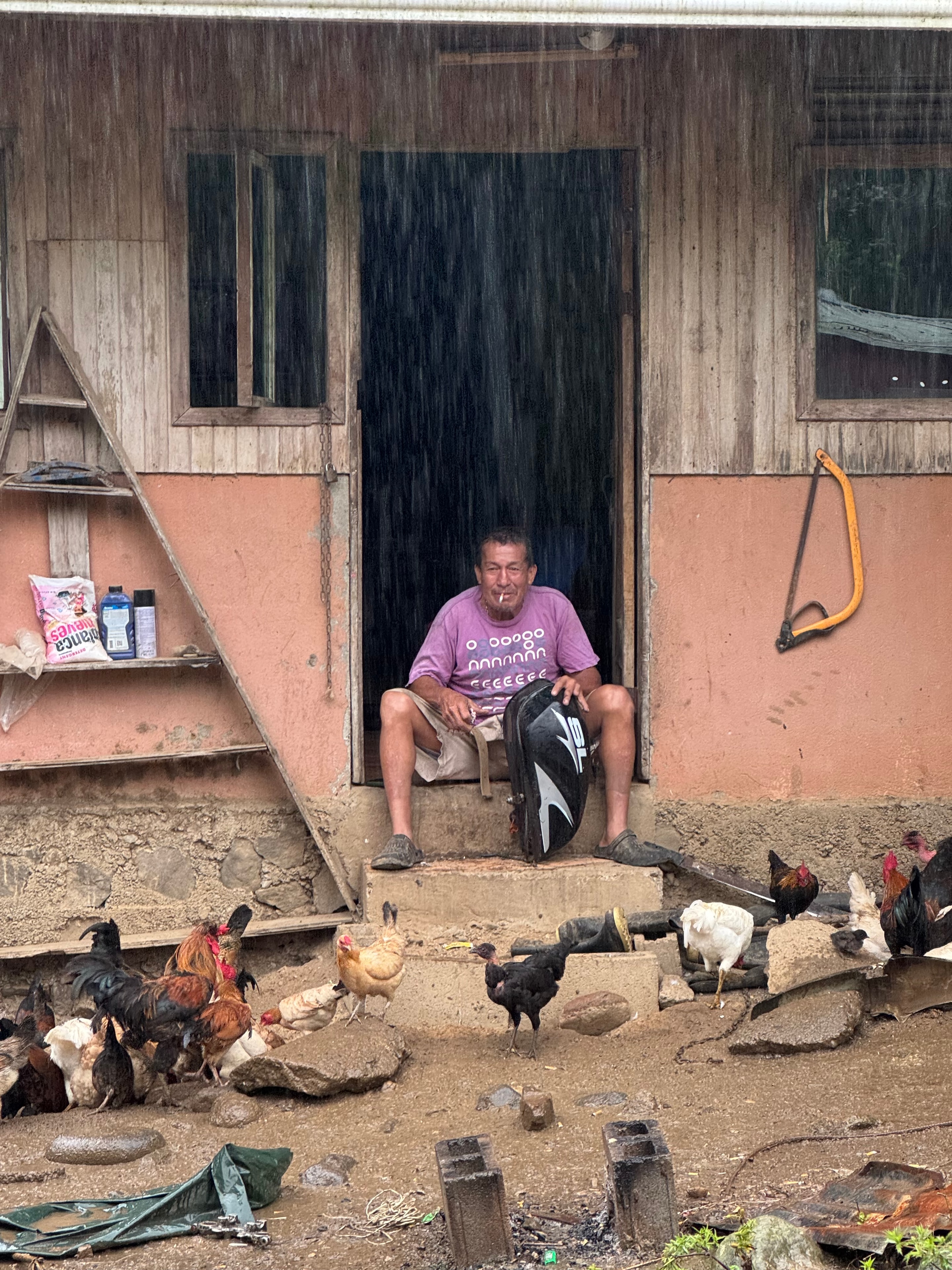
The river crossings are the defining feature of the middle section. There are no bridges on several of the routes, and the rivers run fast after rain. Knee-deep in moving water with a full pack is a particular kind of focus. The villages along the way are small and largely off the tourist circuit — basic accommodation, rice and beans at every meal, and a warmth from the people that made the remoteness feel less isolating.

The Caribbean coast arrives suddenly after days of enclosed forest — a long beach, the Atlantic horizon, and the smell of salt after two weeks of vegetation. The contrast is total. The route is not marked or maintained in any formal sense, and navigation requires attention, but that is precisely what makes it worth doing.

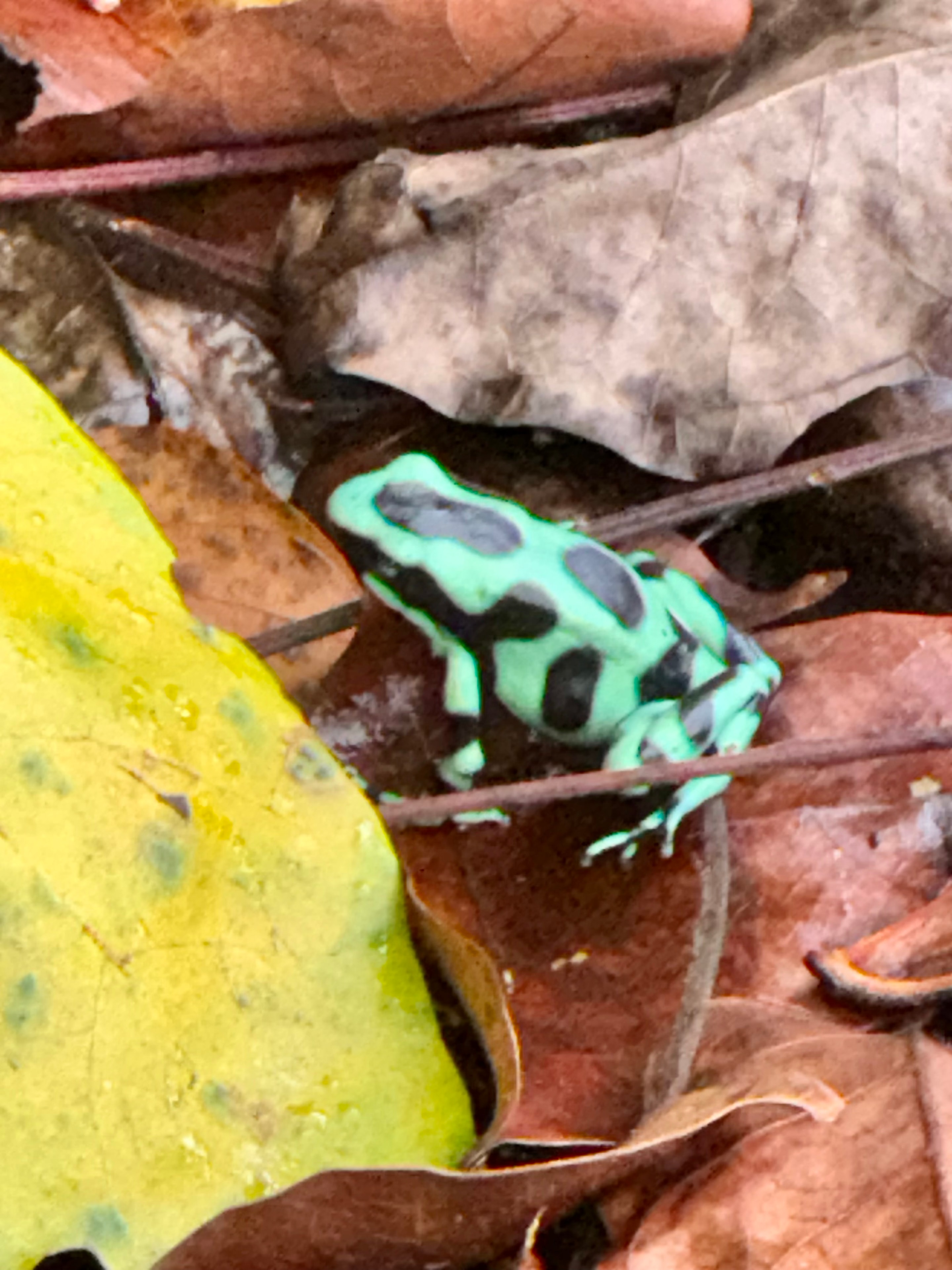
Costa Rica trek — poison dart frog on leaves
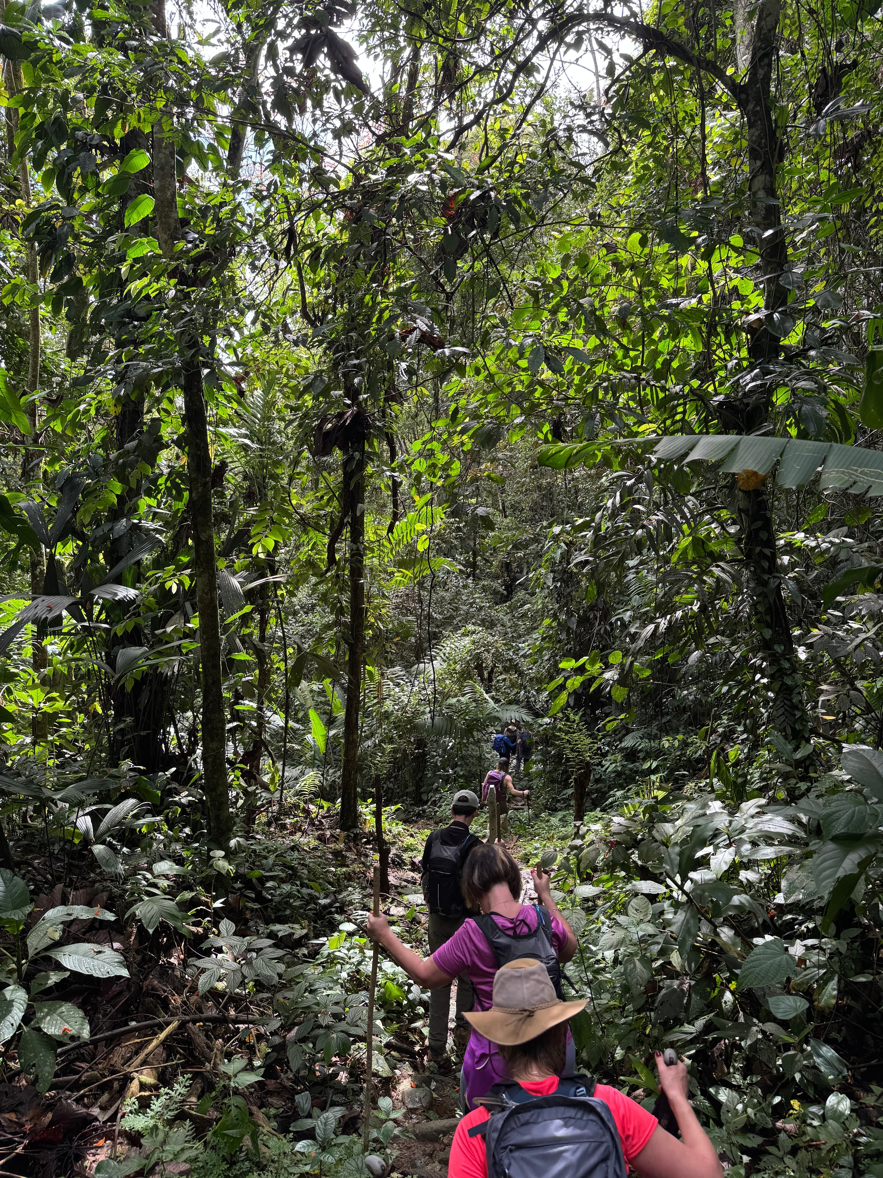
Costa Rica trek — hikers through dense rainforest
Costa Rica trek — suspension bridge through forest canopy
Costa Rica trek — local man in doorway during heavy rain
Costa Rica trek — hikers in ponchos through primary rainforest
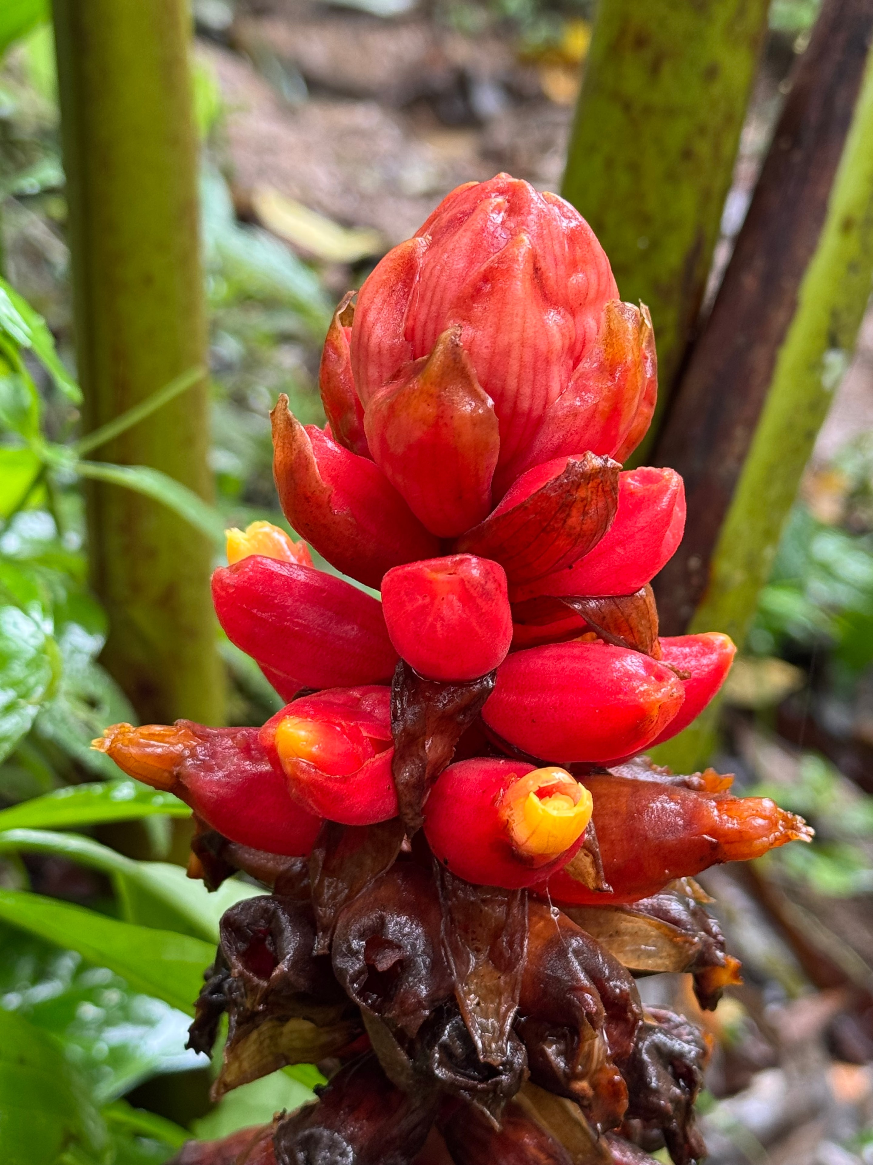
Costa Rica trek — red tropical ginger flower close-up
Costa Rica trek — misty jungle valley landscape
Costa Rica trek — misty rainforest canopy
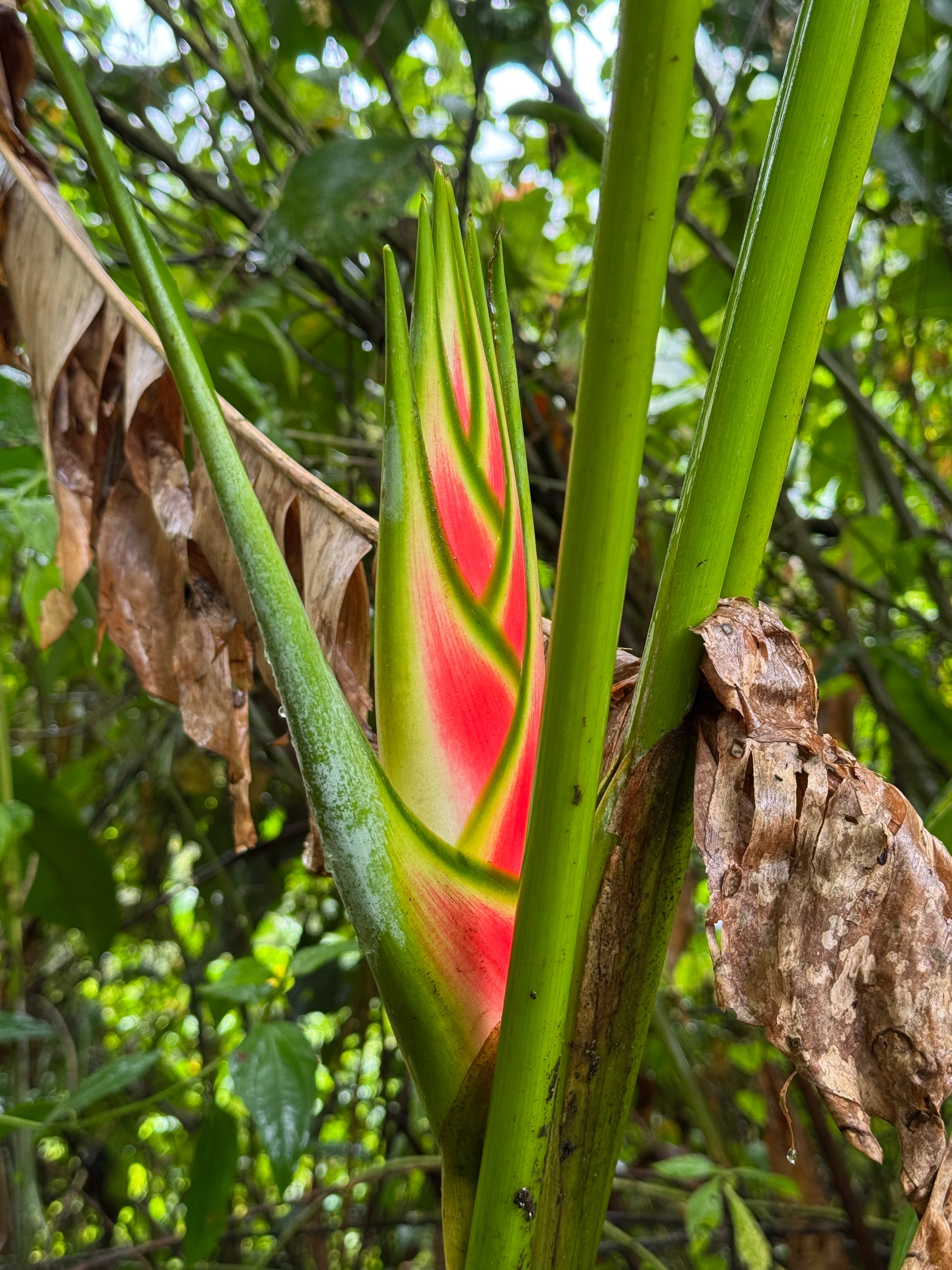
Costa Rica trek — heliconia tropical plant bud
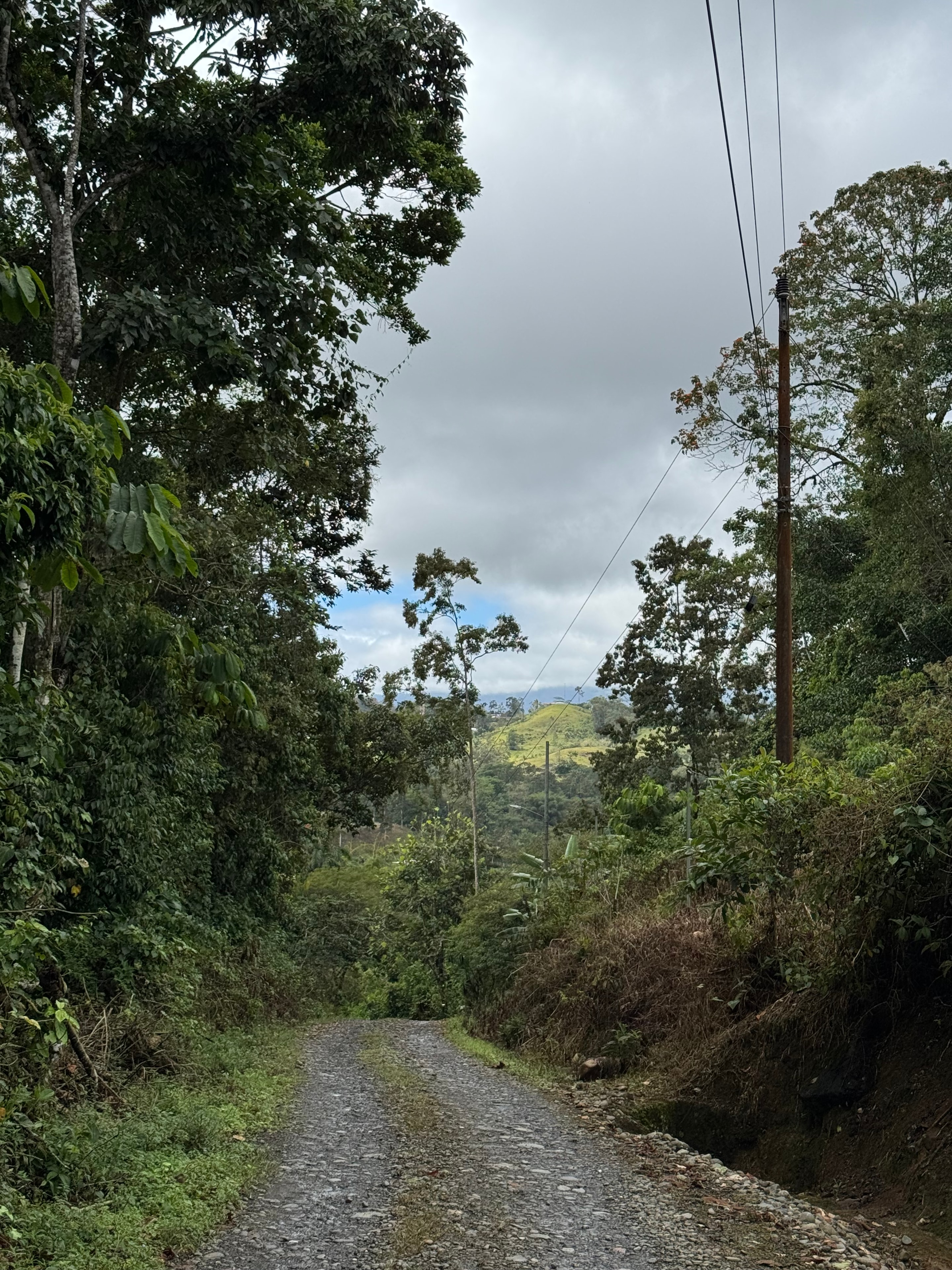
Costa Rica trek — rural mountain road through lush forest
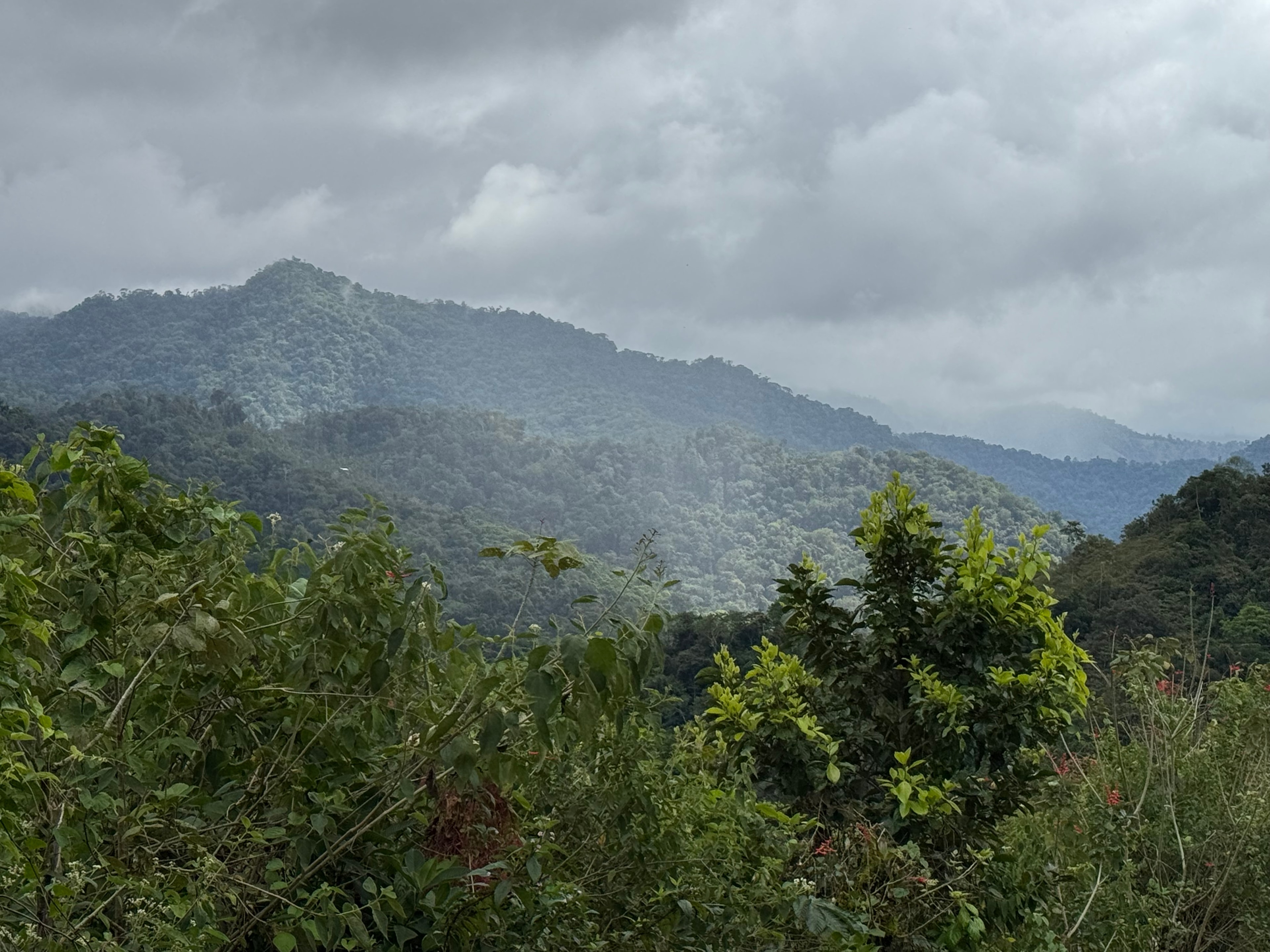
Costa Rica trek — lush rainforest mountains under cloudy sky
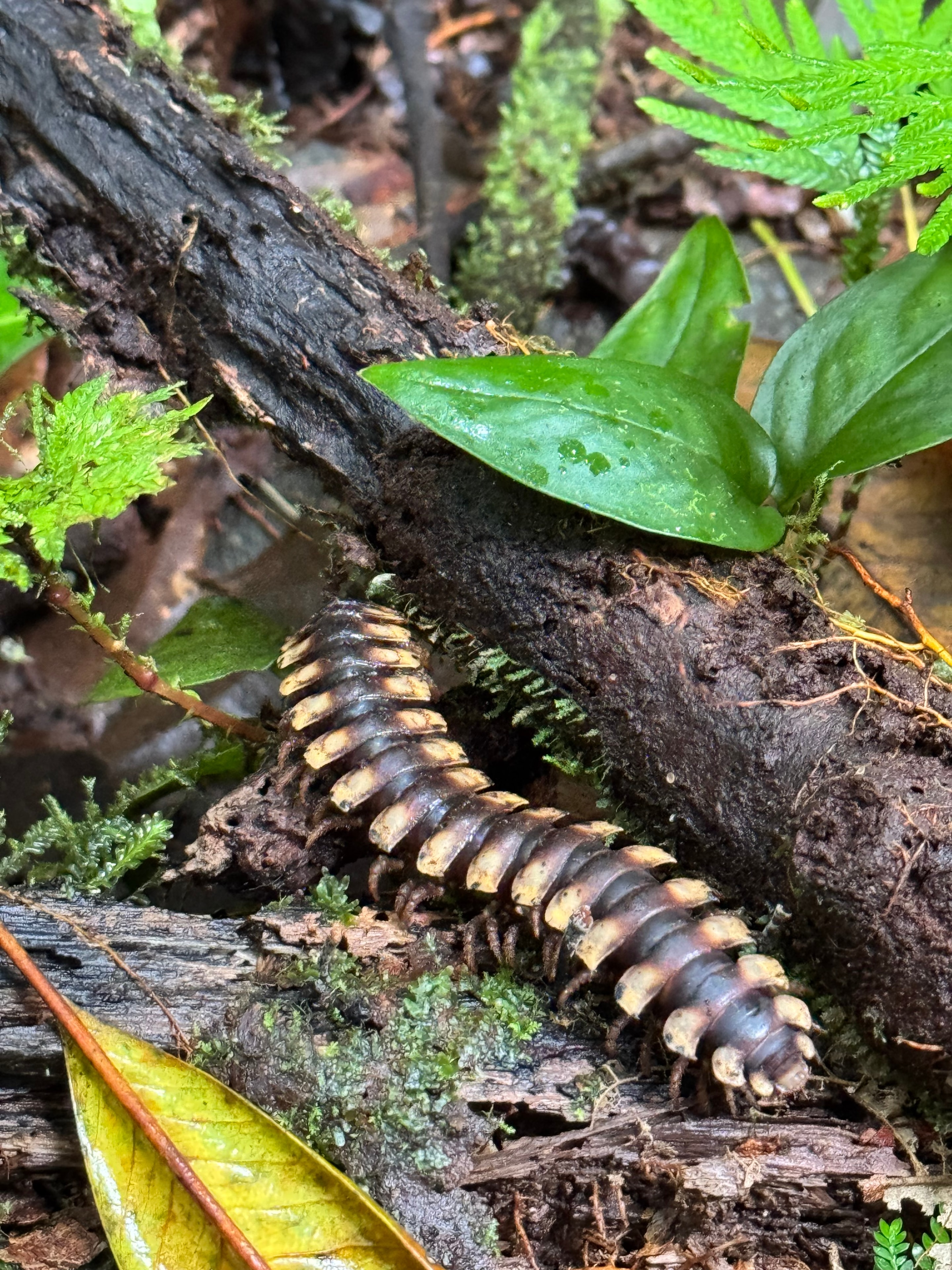
Costa Rica trek — millipede on mossy forest log
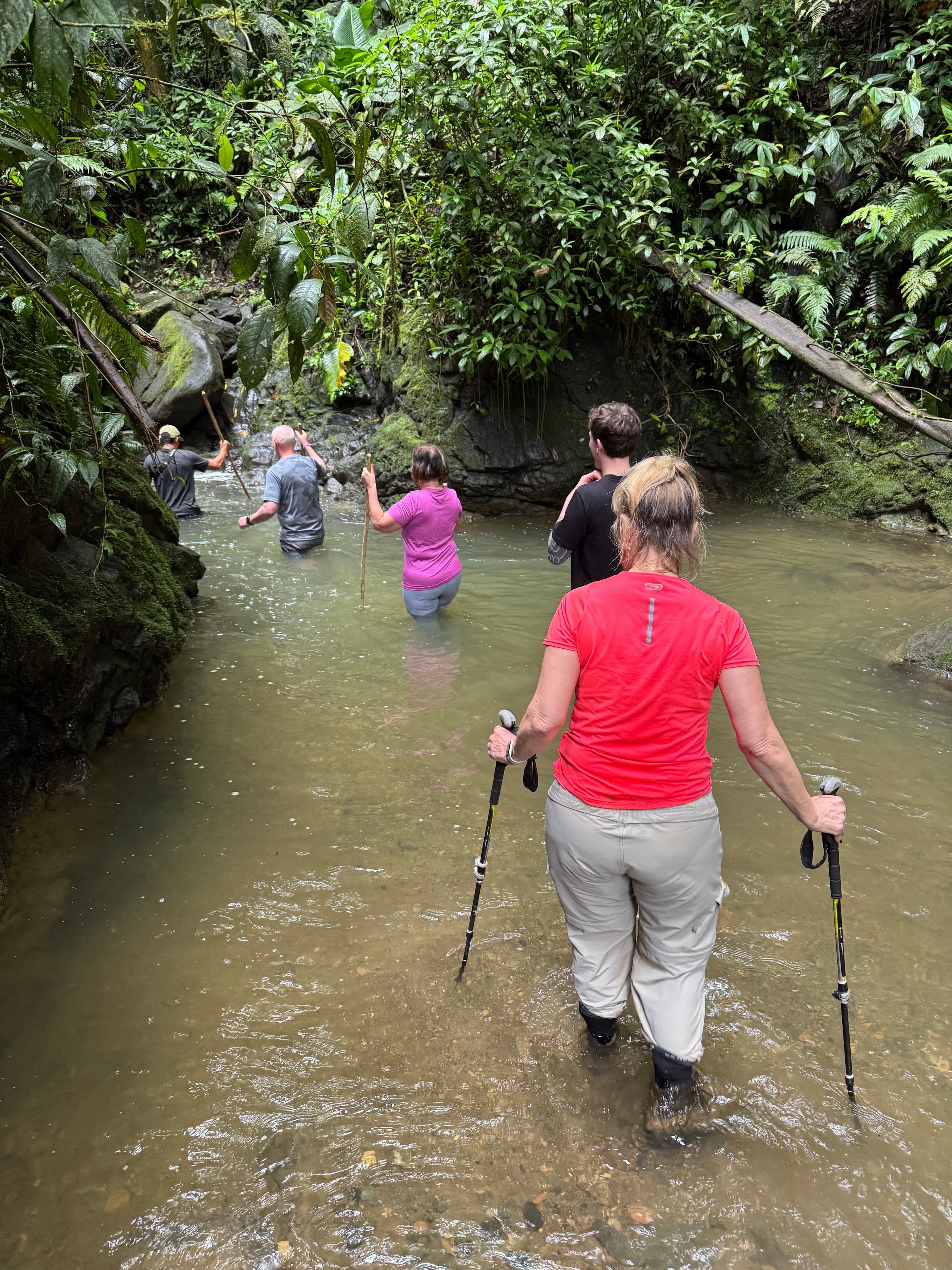
Costa Rica trek — hikers wading through jungle stream
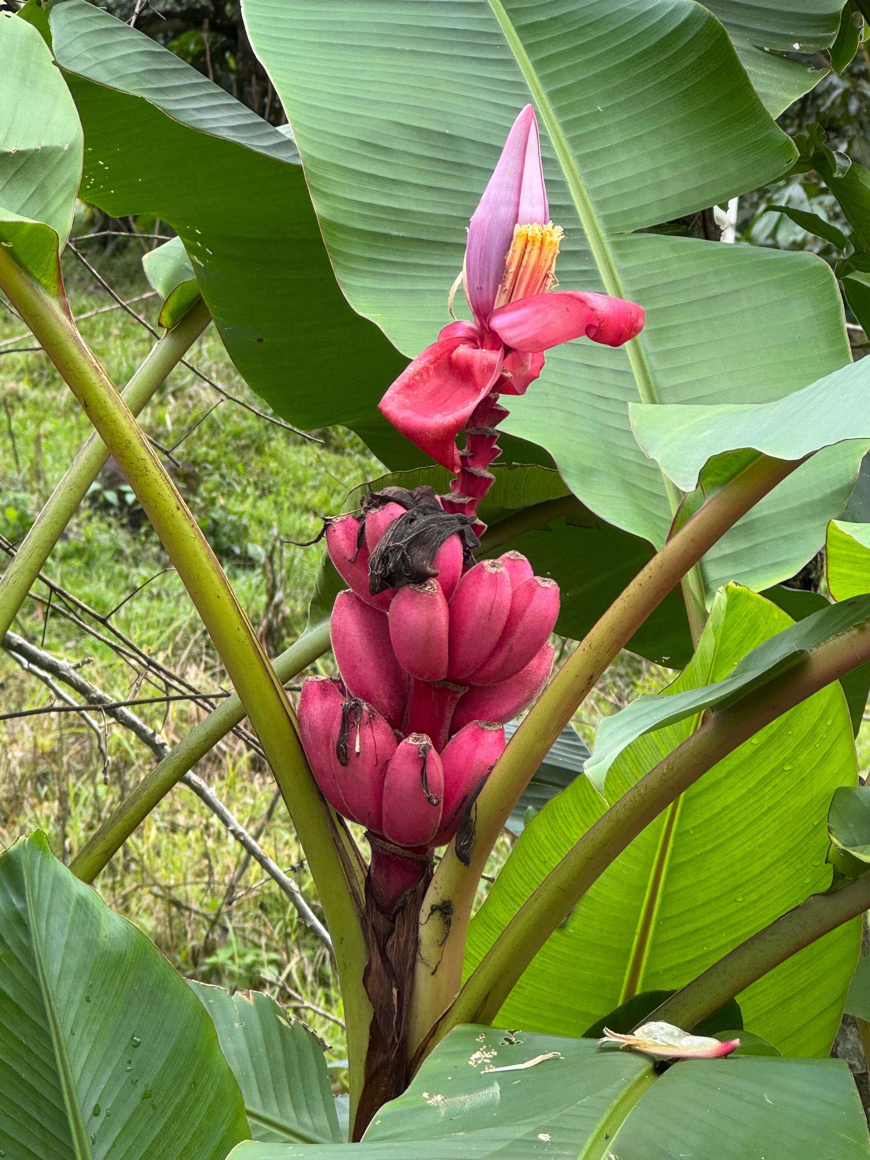
Costa Rica trek — pink banana flower in bloom
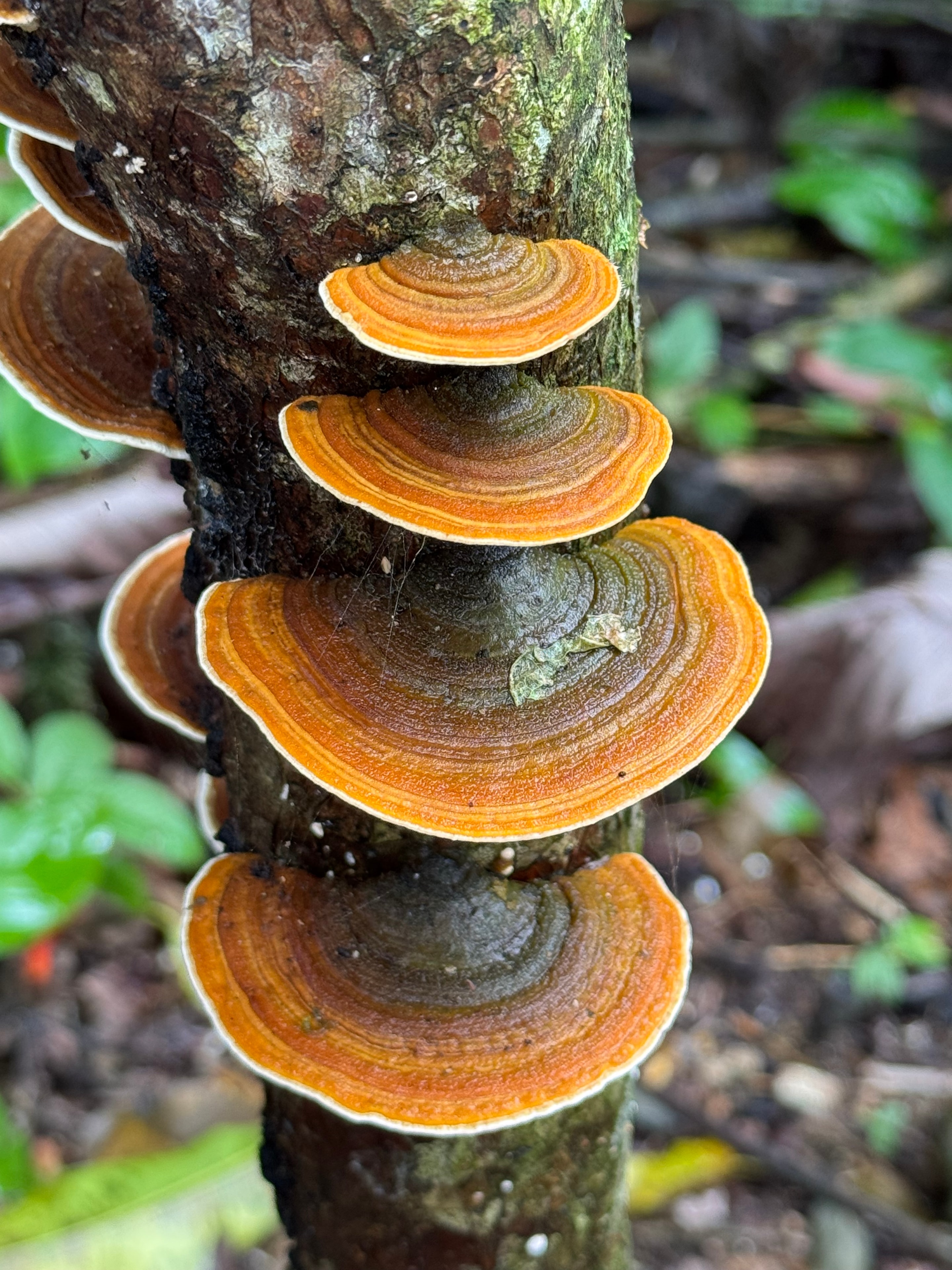
Costa Rica trek — orange shelf fungi on mossy tree trunk
Costa Rica trek — hikers trekking through dense rainforest canopy
Moderate

Ho Chi Minh City to Angkor Wat by Bike

Ho Chi Minh City to Angkor Wat by Bike
Vietnam & Cambodia202410 days500 km

Ten days cycling from Ho Chi Minh City through the Mekong Delta and across the Cambodian border to Angkor Wat — 500 kilometres of flat roads, river ferries, and temple complexes.

The route out of Ho Chi Minh City takes a day to clear the suburbs, the traffic dense and the roads wide and fast. Once into the Mekong Delta the pace changes entirely — narrow roads through rice paddies, wooden bridges over irrigation channels, and the river always nearby. The delta is flat in a way that makes cycling easy and the distances deceptive; 80 kilometres passes without effort when the road is straight and the wind is behind you.

The border crossing into Cambodia is straightforward but slow, and the roads on the other side are rougher and quieter. The landscape opens up — less intensive agriculture, more scrub and dust, the sky bigger. Phnom Penh is a day's ride from the border, and the city is worth a day off the bike before the final push north to Siem Reap.

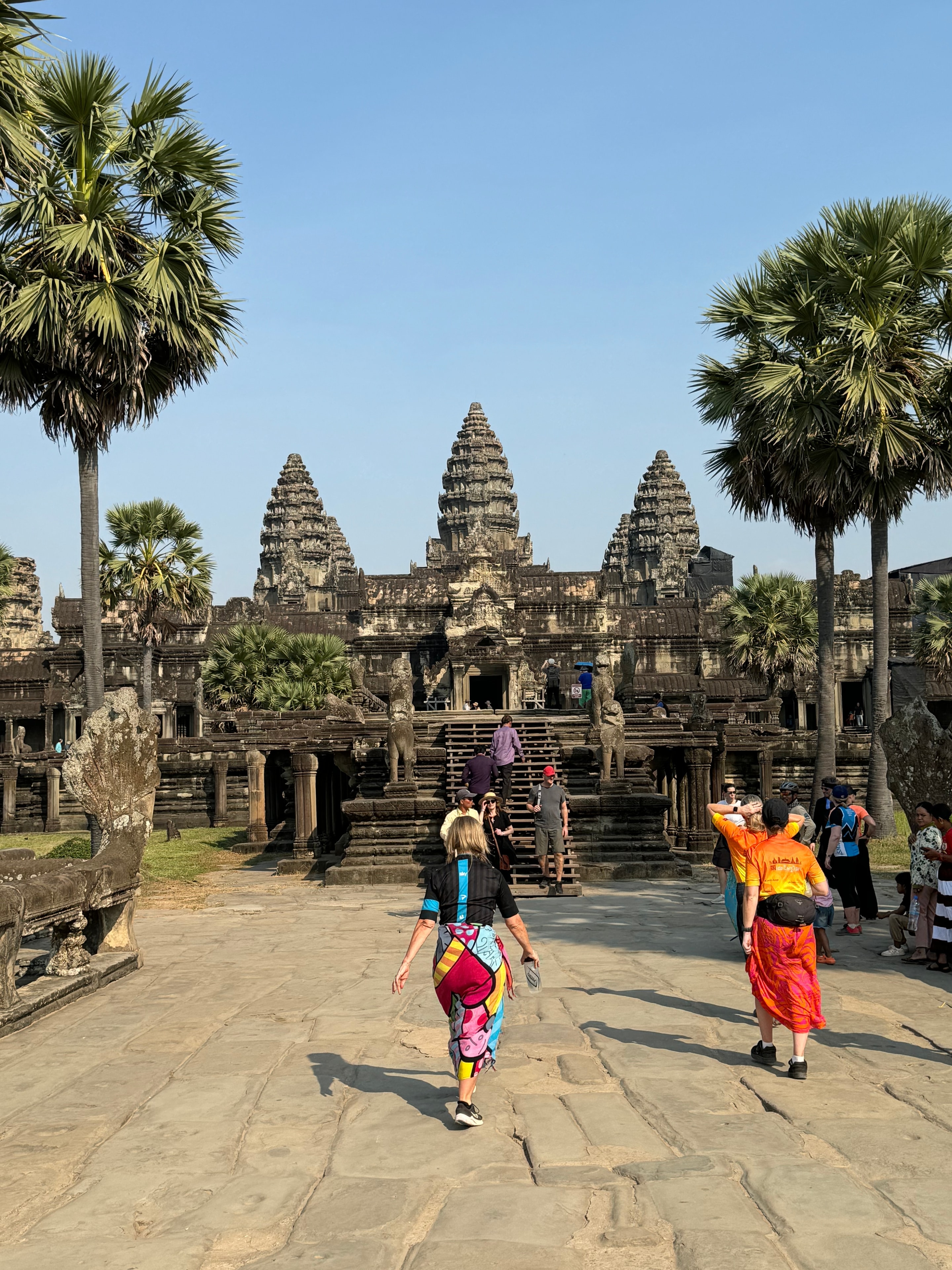
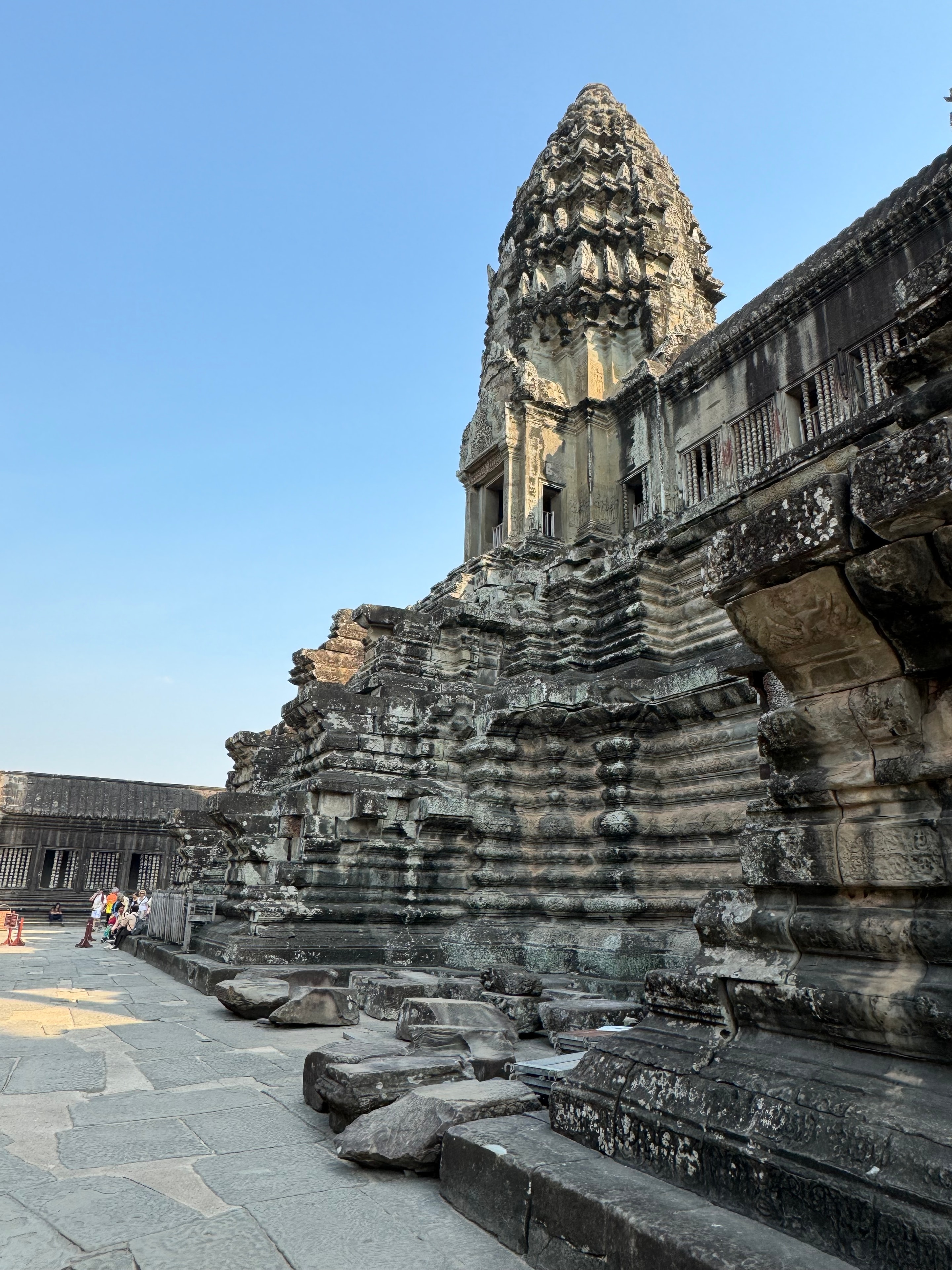
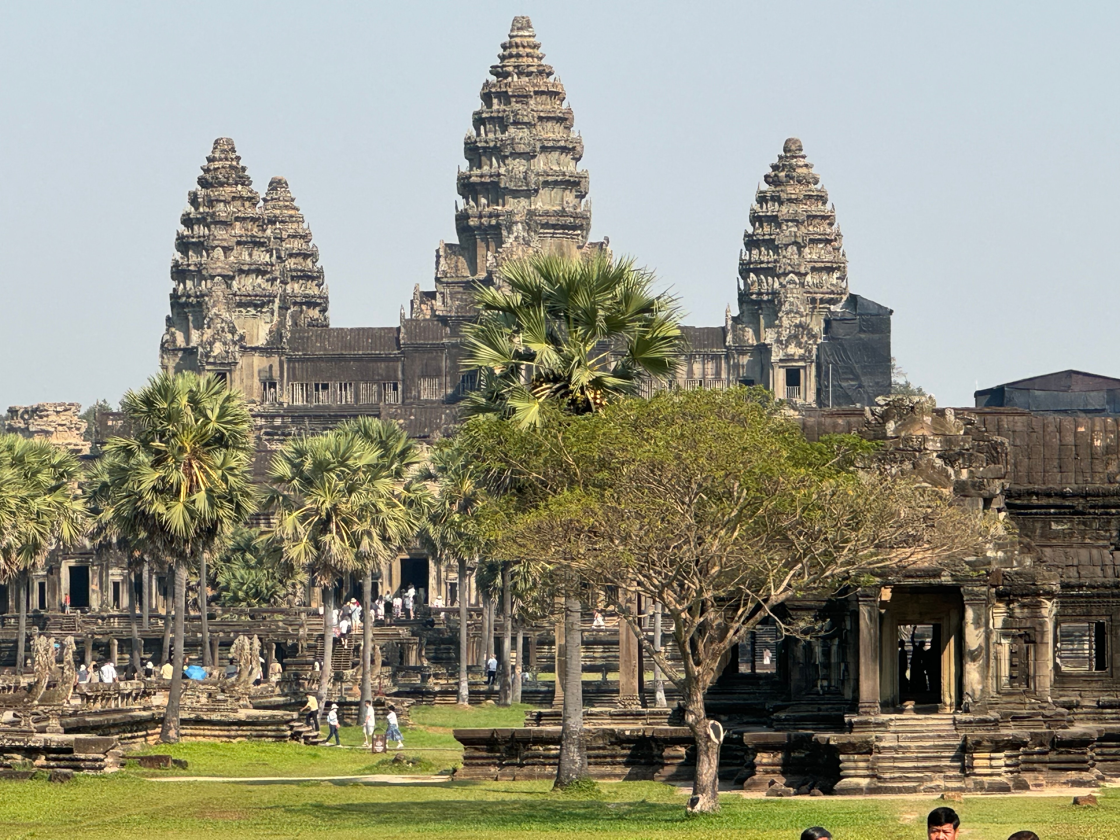
Angkor Wat at dawn on the last morning is the obvious ending, and it delivers. The temple complex is vast enough that even with the crowds it retains a sense of scale that photographs don't capture. Seven days of cycling to get there makes the arrival feel earned in a way that a flight from Bangkok does not.

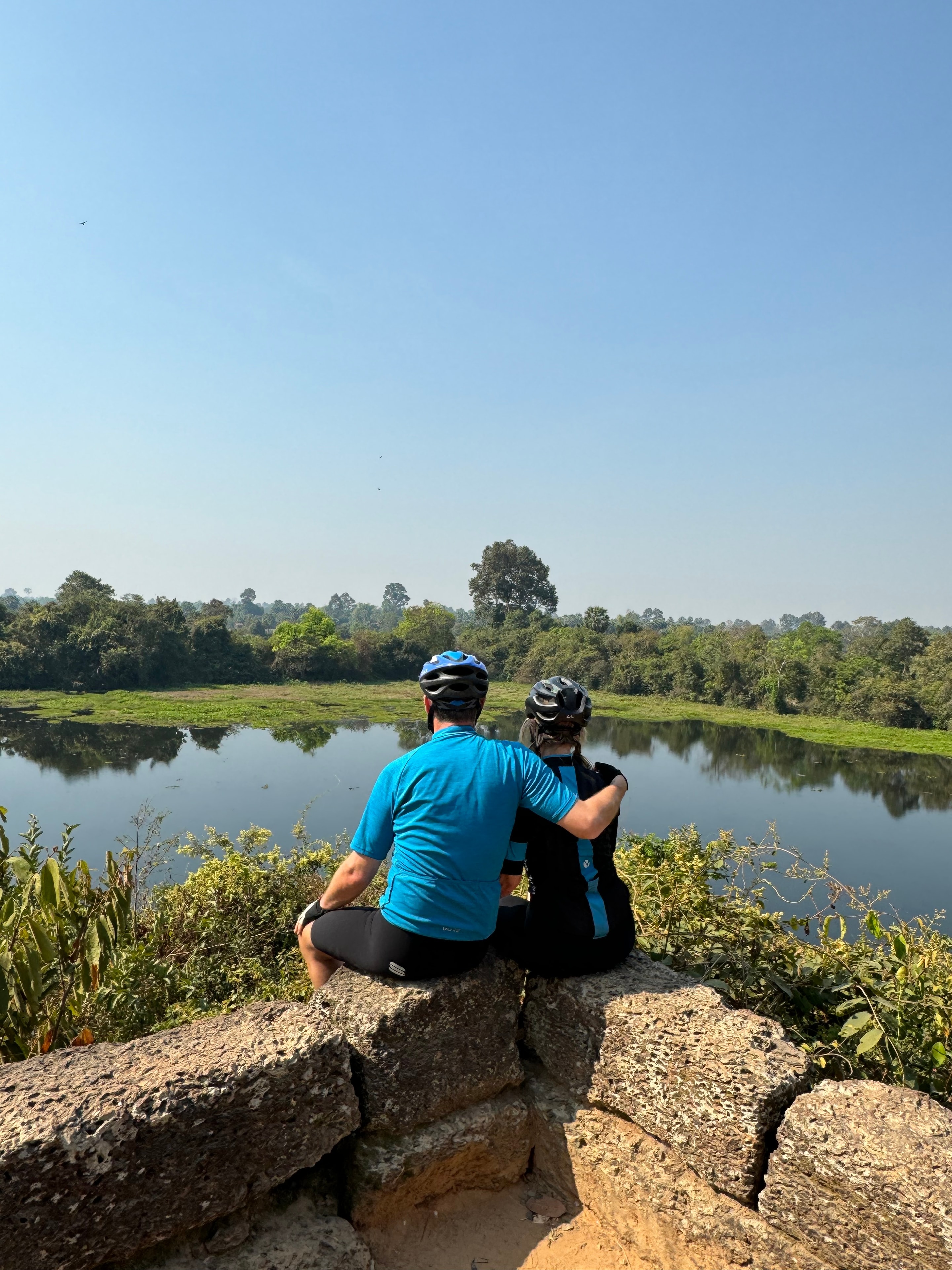
Ho Chi Minh to Angkor Wat — two cyclists resting overlooking a river landscape
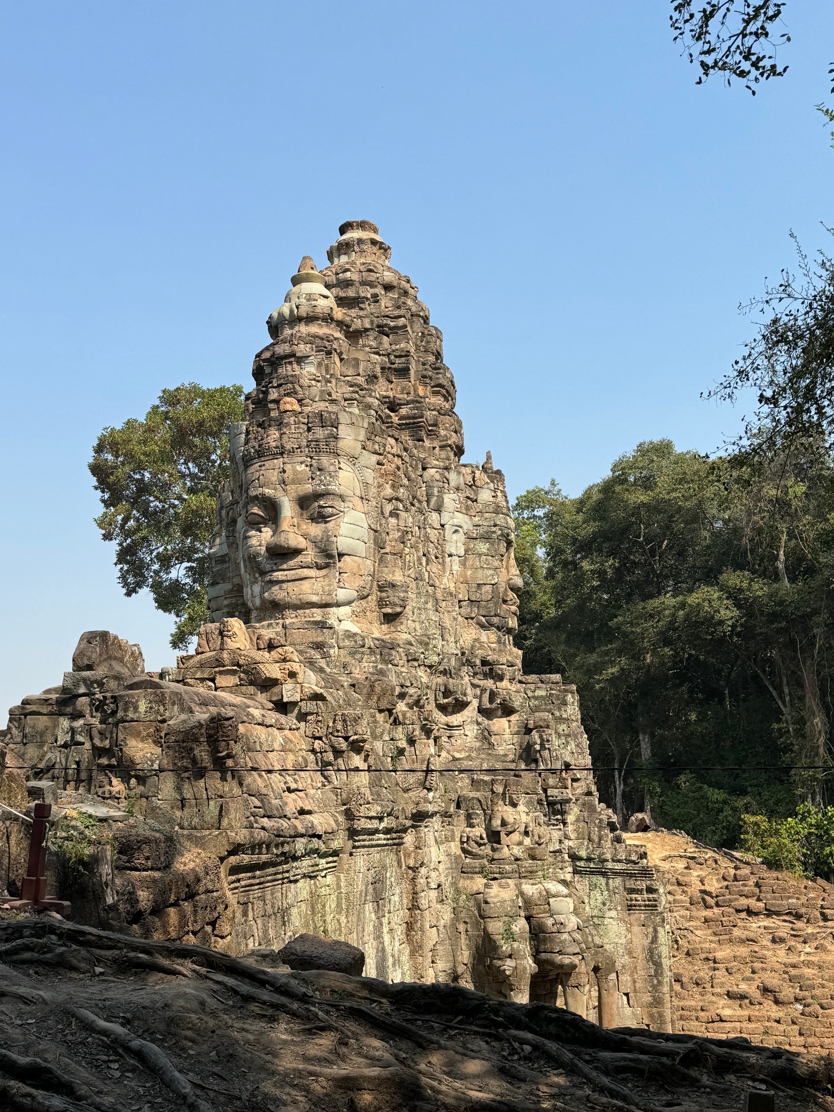
Ho Chi Minh to Angkor Wat — Bayon temple stone face Angkor Thom Cambodia
Ho Chi Minh to Angkor Wat — tourists approaching Angkor Wat temple Cambodia
Ho Chi Minh to Angkor Wat — Angkor Wat tower detail ancient Khmer stonework
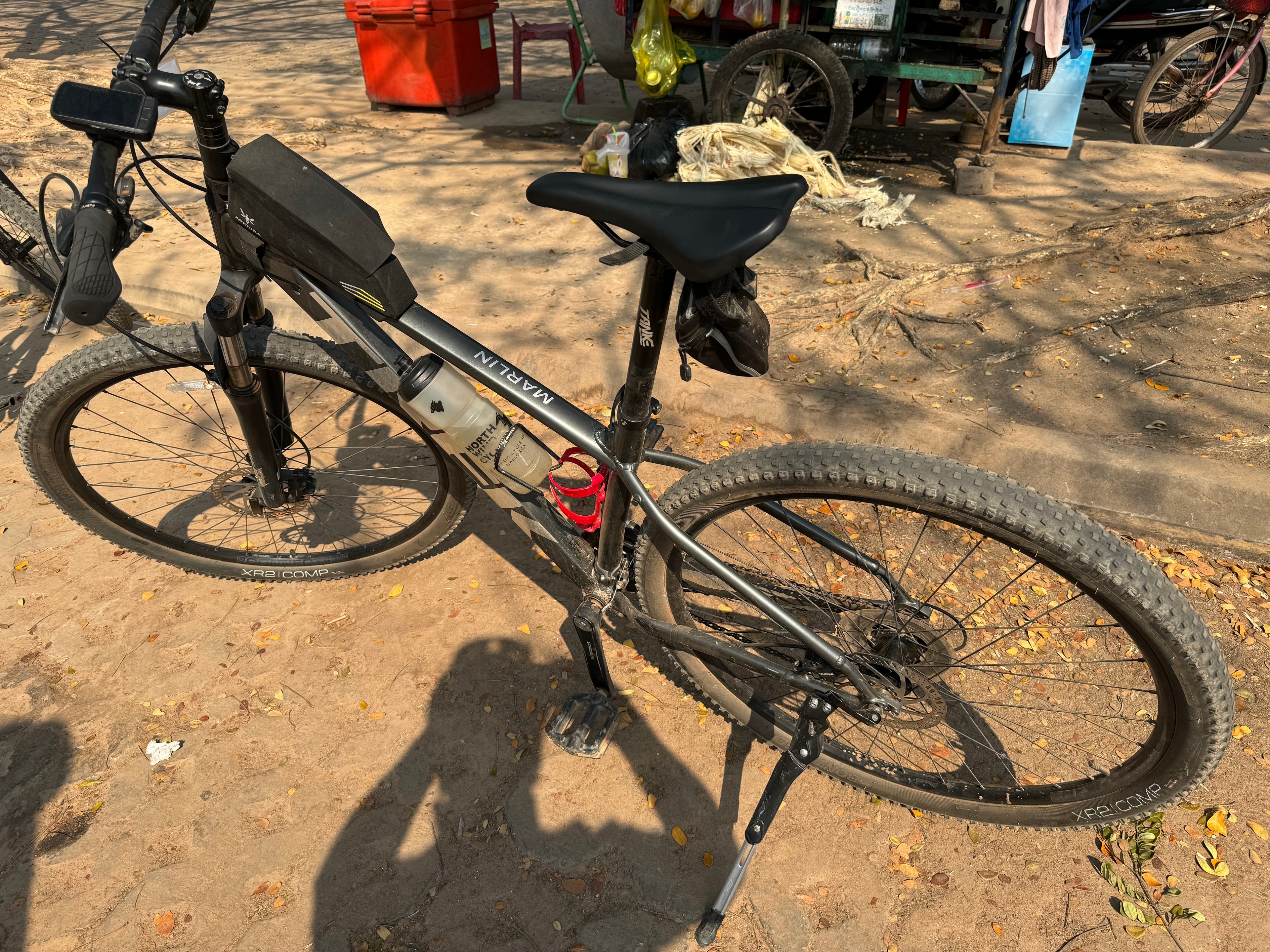
Ho Chi Minh to Angkor Wat — mountain bike parked on dirt ground Cambodia
Ho Chi Minh to Angkor Wat — Angkor Wat temple complex with palm trees
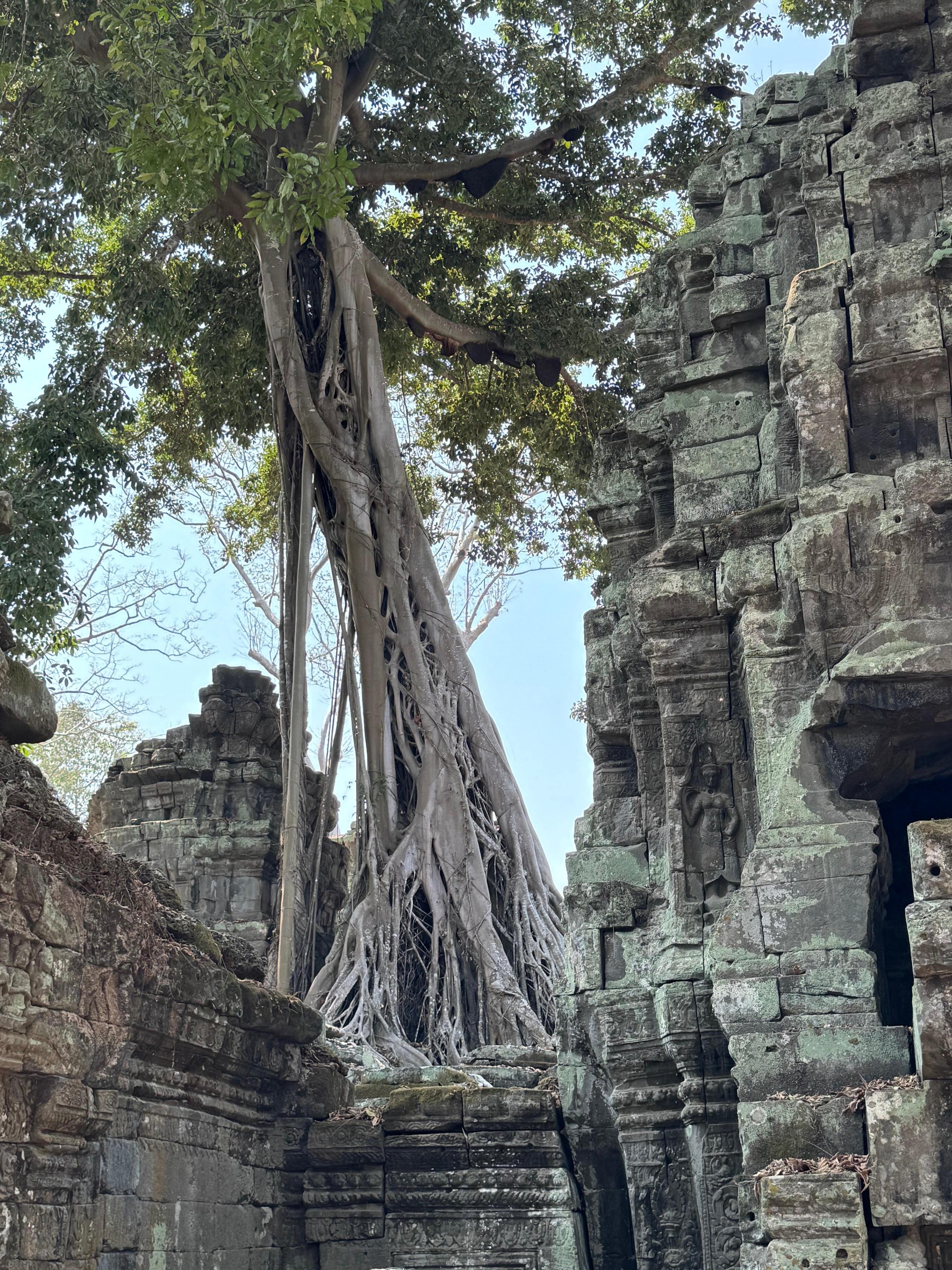
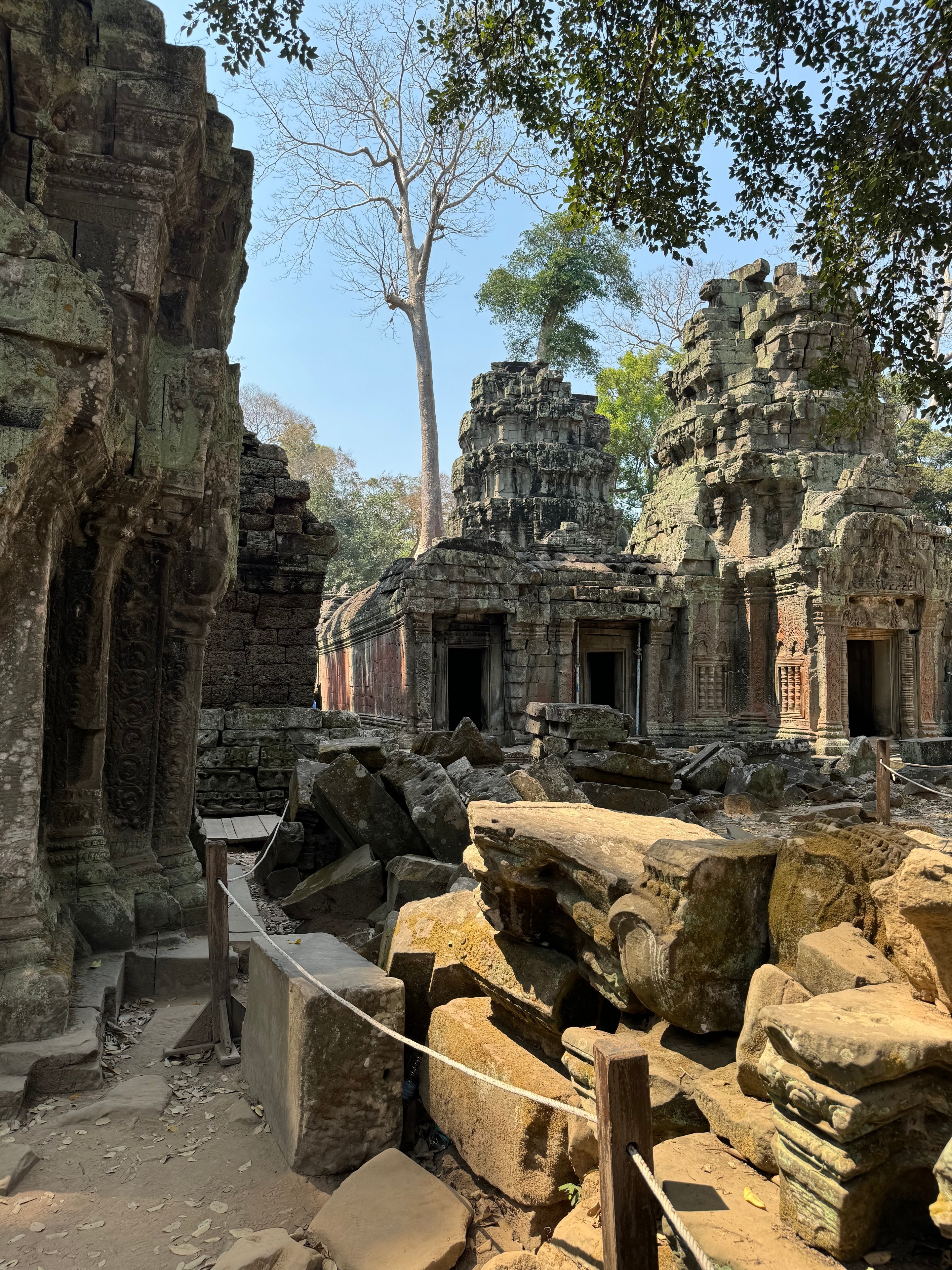
Ho Chi Minh to Angkor Wat — ancient temple ruins with massive tree roots
Ho Chi Minh to Angkor Wat — ancient Khmer temple ruins overgrown vegetation
Strenuous

Iceland — Land of Ice and Fire

Iceland — Land of Ice and Fire
Iceland20257 days95 km

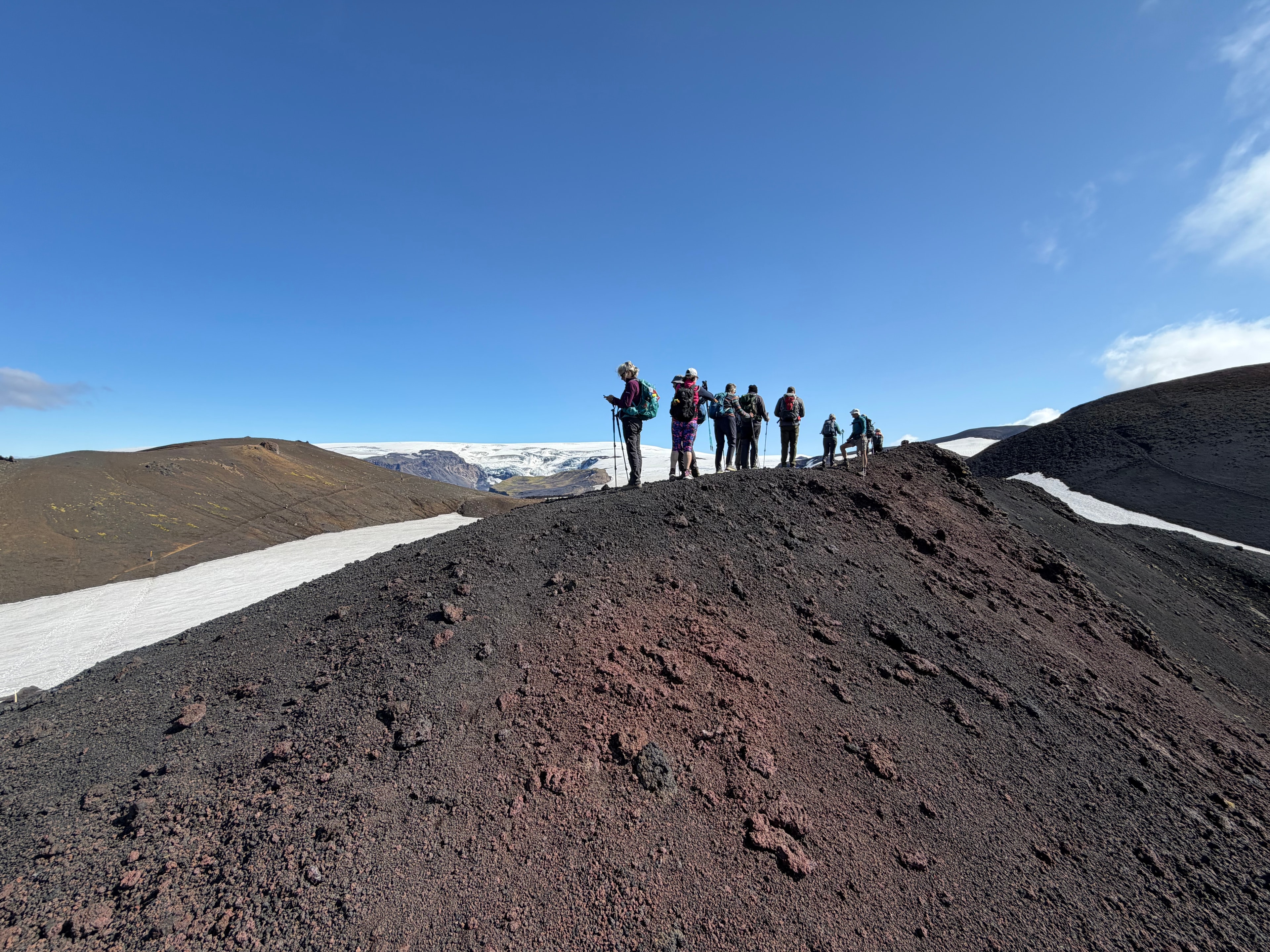
Seven days based at Þórsmörk — four days of day treks to dormant volcanoes, steep gorges, and ridges with views of distant glaciers across Iceland's volcanic interior.

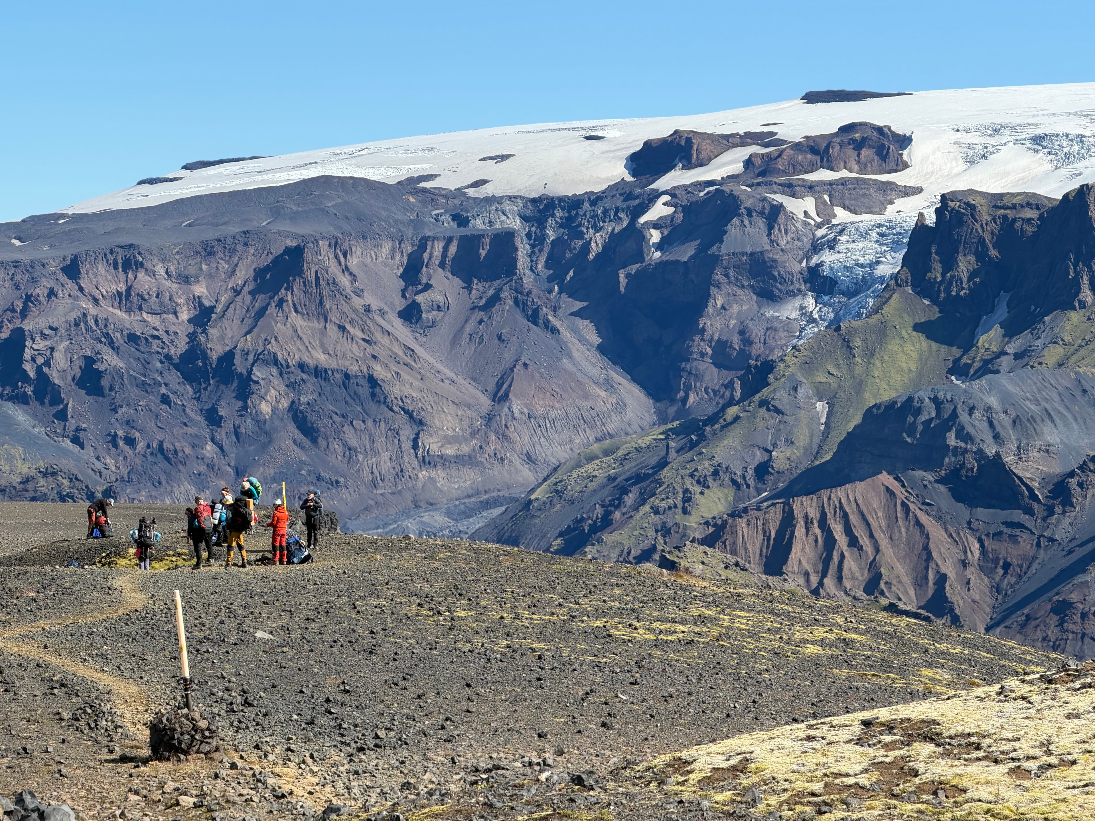
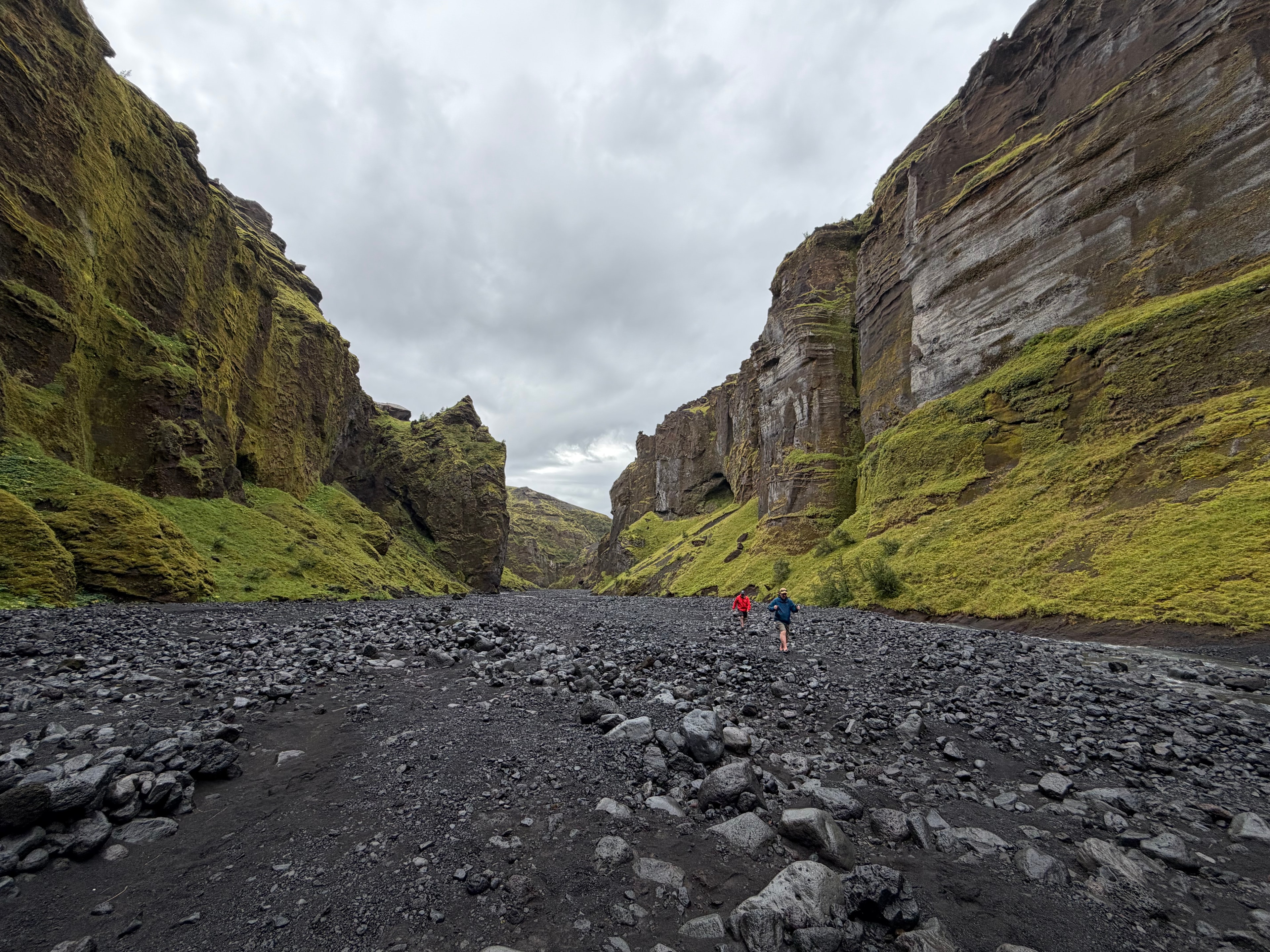
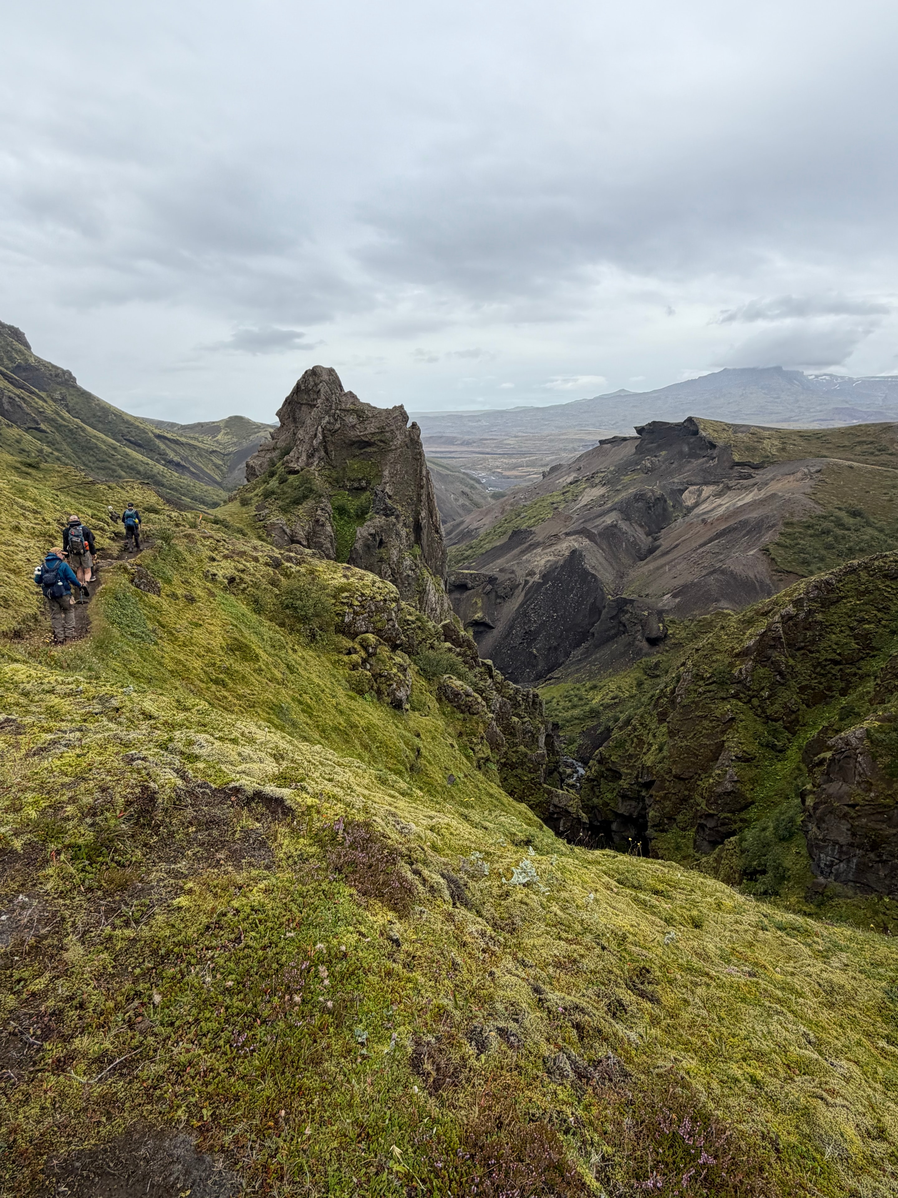
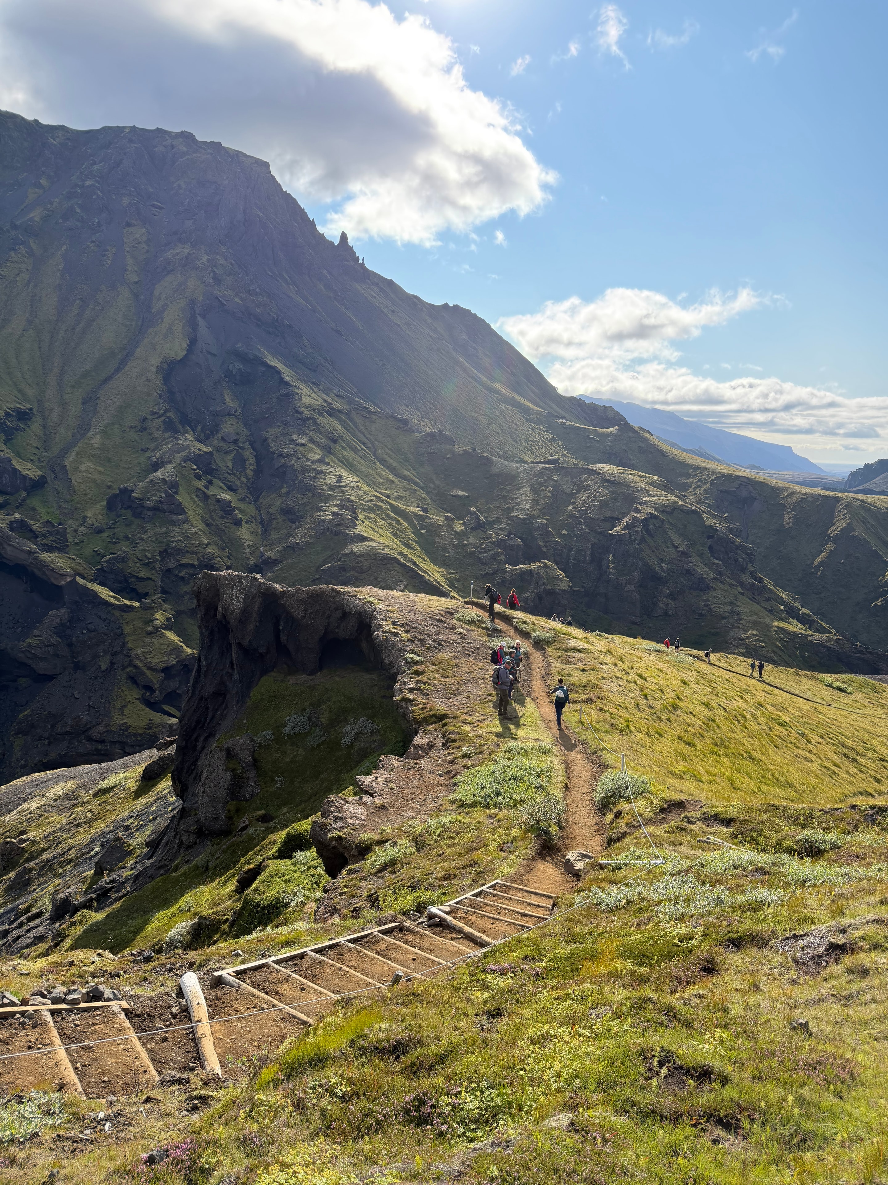
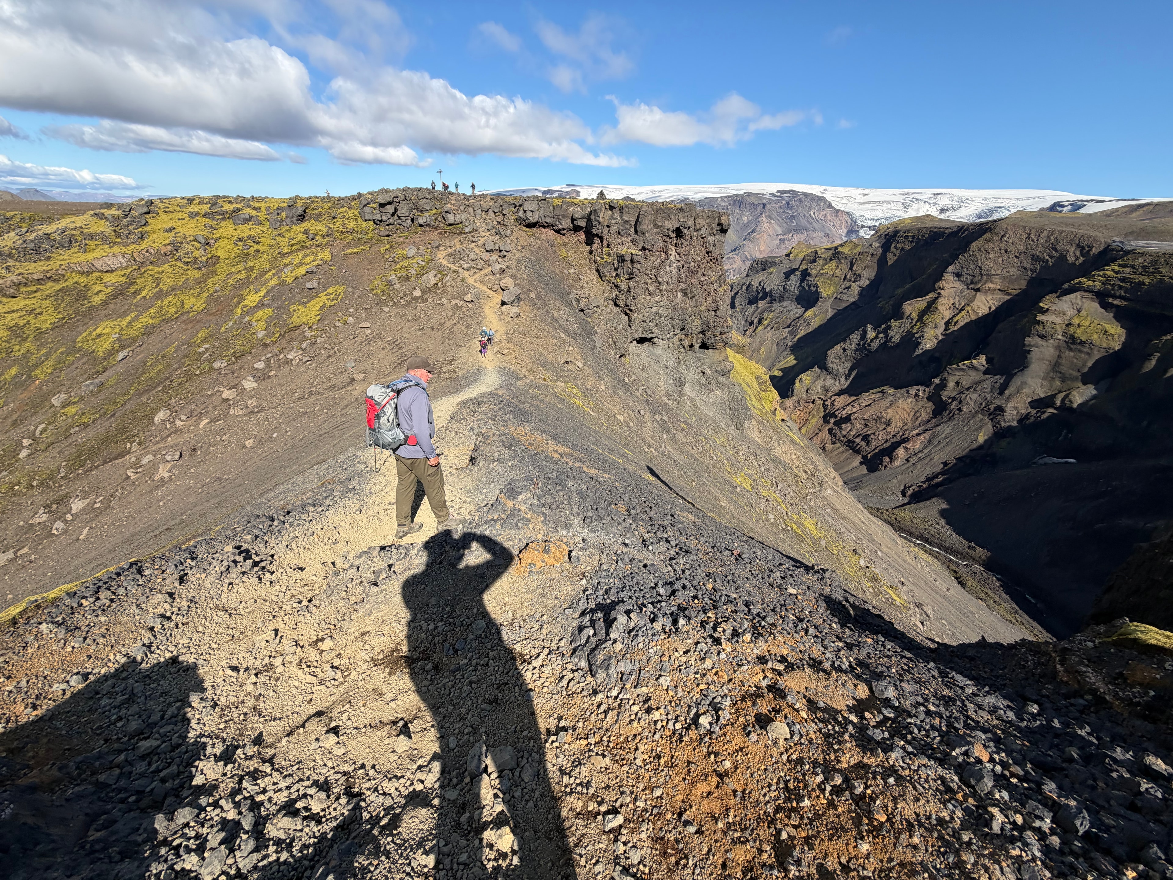
We based ourselves at Þórsmörk for four days and trekked out and back each day into the surrounding highlands. The valley sits hemmed in by glaciers on three sides, and the terrain within a half-day's walk covers an extraordinary range — dormant volcanoes, deep gorges with steep gullies dropping away on both sides, and long ridgelines where the distant ice caps of Eyjafjallajökull and Mýrdalsjökull fill the horizon. Ninety-five kilometres in total across the four days, with a different piece of Iceland each time.

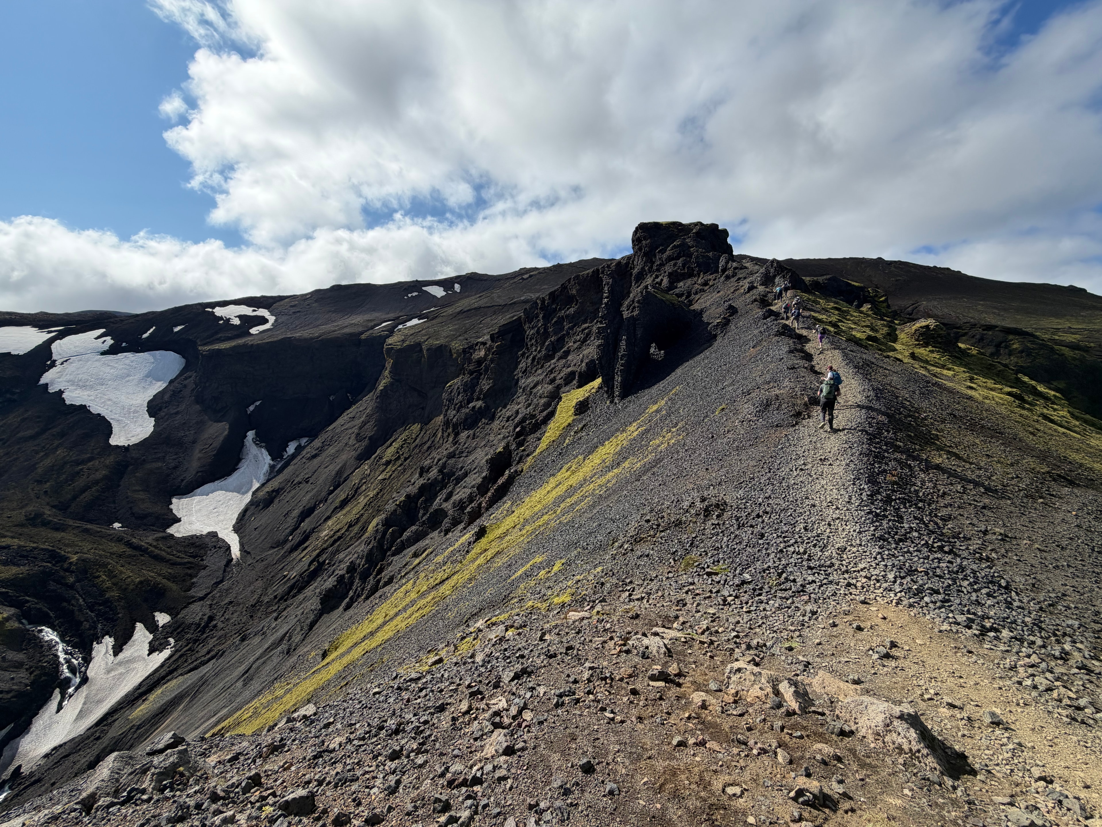
The gorge routes were the most demanding. The gullies are steep and loose in places, the paths narrow, and the drops significant enough to keep your attention fixed on the ground in front of you. But the reward at the top is the kind of view that stops you mid-stride — a wide volcanic plateau, the gorge falling away behind you, and glaciers sitting on the horizon like something from another era. The routes to the dormant volcanoes are longer and more exposed, crossing open lava fields and ridges where the wind comes in hard and unbroken.

Having a fixed base at Þórsmörk changed the rhythm of the trip entirely. No daily pack-up, no route decisions beyond which direction to head. Just the same valley to return to each evening, the light fading slowly in the way it does in Iceland in late summer — never quite going dark, the sky holding a deep blue long after midnight. Four days, 95 kilometres, and terrain that felt genuinely remote even when the hut was only a few hours behind us.

Iceland — Þórsmörk valley day trek
Iceland — volcanic gorge and steep gullies
Iceland — dormant volcano ridge views
Iceland — distant glacier views from the highlands
Iceland — mountain trail day hike
Iceland — volcanic canyon hiking
Iceland — highland landscape
RIPSTOP MEDIA

Stories from the trail.

Follow

© 2026 Ripstop Media. All rights reserved.